Transport Functions
Road
Multimodal
Hub Profile
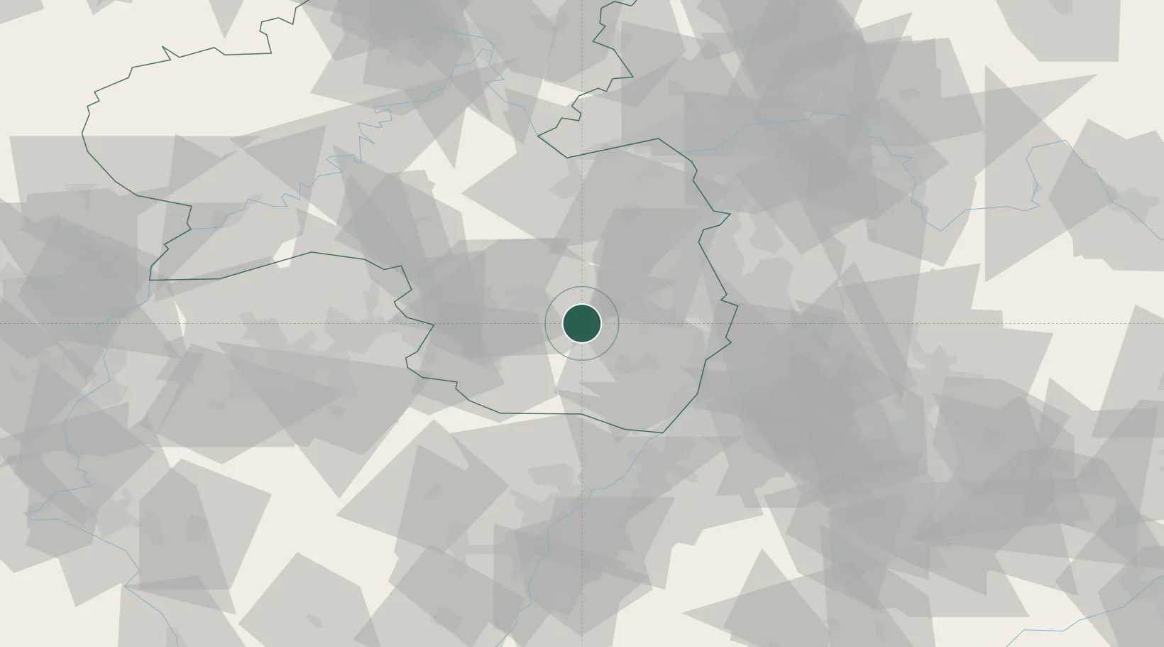
Place type
Local administrative seat
Region
Rheinland-Pfalz
Population
2,786
Time zone
Europe/Berlin
Elevation
390 m
Location
Nearby Logistics Neighbours
Cities
- 1Erfenstein6 km
- 2Stelzenberg15 km
- 3Neustadt/Weinstrasse15 km
- 4Leimen (Pfalz)15 km
- 5Gimmeldingen16 km
Airports
- 1Ramstein Air Base25 km
- 2Mannheim-City Airport44 km
- 3Saarbrücken Airport62 km
- 4Karlsruhe Baden-Baden Airport66 km
- 5Mainz-Finthen Airfield69 km
Trade Zones
- 1ZFU La Cité Behren-lès-Forbach76 km
- 2ZFU Hautepierre88 km
- 3ZFU Neuhof93 km
- 4Luxembourg Free Port127 km
- 5ZFU Woippy-Metz132 km
DatabookThe Record of Consolidated Knowledge
Germany beyond logistics?