Transport Functions
Multimodal
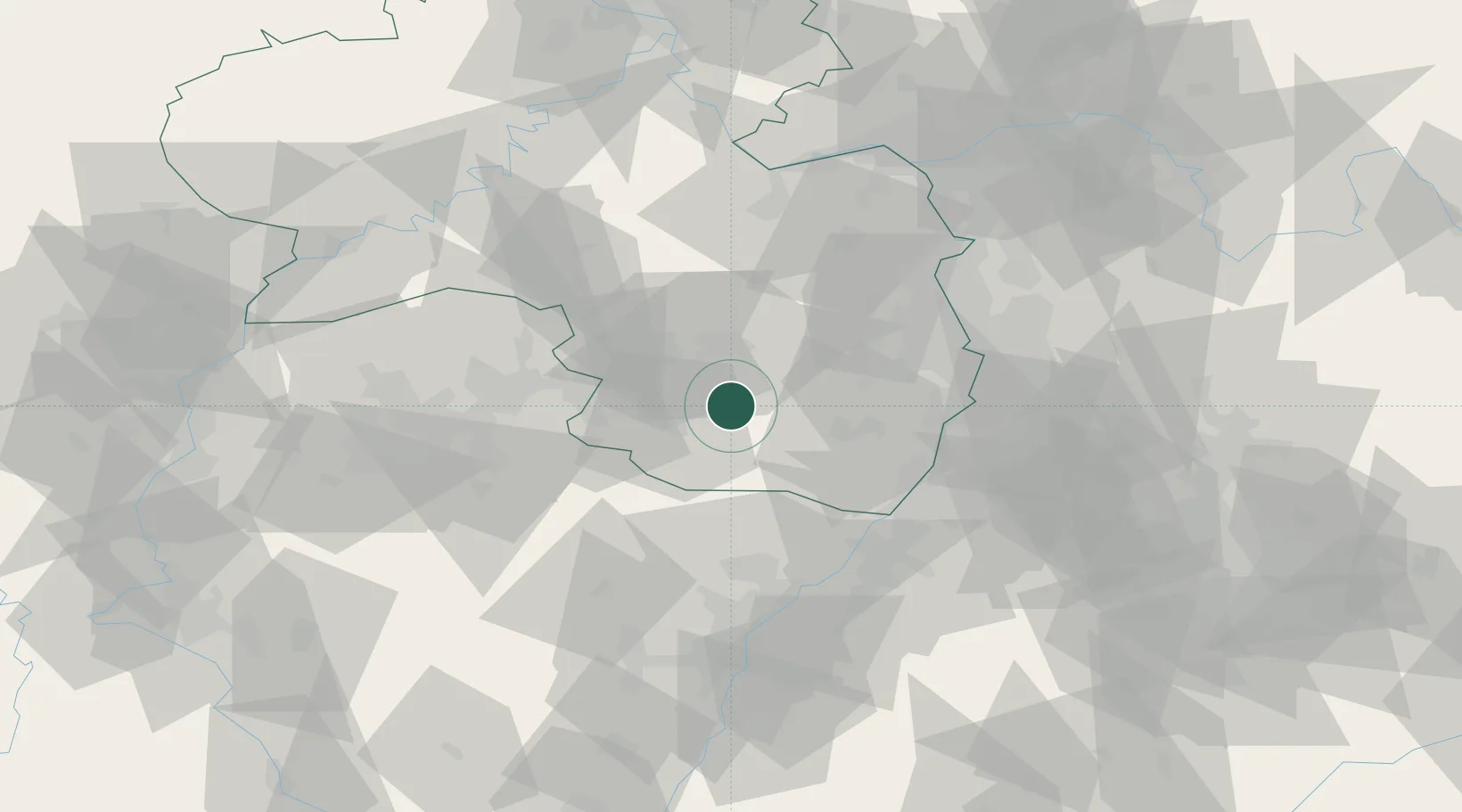
Hub Profile
Region
RP
Location
Nearby Logistics Neighbours
Cities
- 1Merzalben4 km
- 2Clausen6 km
- 3Münchweiler an der Rodalbe9 km
- 4Steinalben9 km
- 5Schwanenmühle9 km
Airports
- 1Ramstein Air Base21 km
- 2Saarbrücken Airport48 km
- 3Mannheim-City Airport58 km
- 4Karlsruhe Baden-Baden Airport61 km
- 5Phalsbourg-Bourscheid Air Base71 km
Trade Zones
- 1ZFU La Cité Behren-lès-Forbach62 km
- 2ZFU Hautepierre77 km
- 3ZFU Neuhof83 km
- 4ZFU Metz118 km
- 5ZFU Woippy-Metz118 km
DatabookThe Record of Consolidated Knowledge
Germany beyond logistics?