Transport Functions
Road
Multimodal
Hub Profile
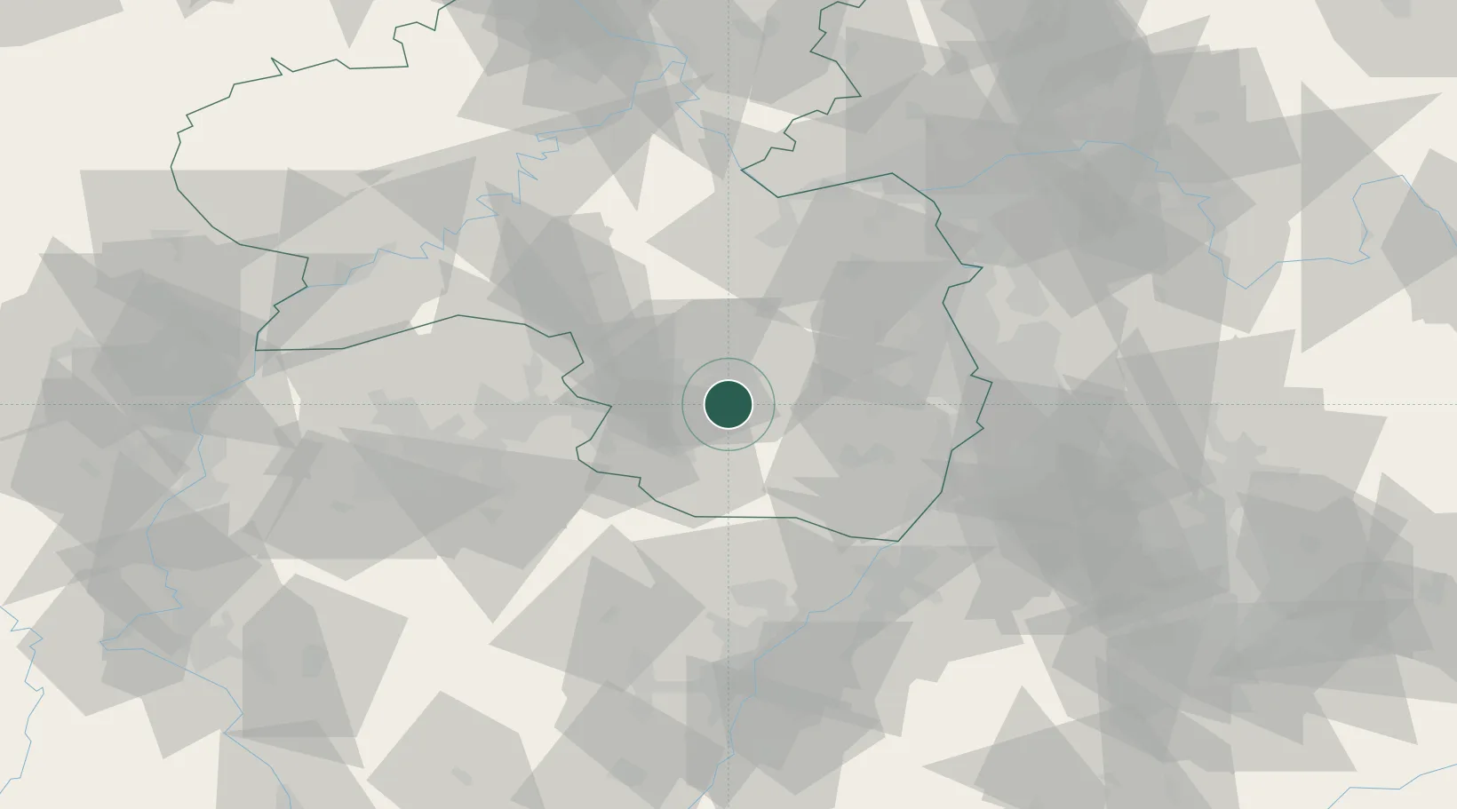
Place type
Local administrative seat
Region
Rheinland-Pfalz
Population
1,291
Time zone
Europe/Berlin
Elevation
379 m
Location
Nearby Logistics Neighbours
Cities
- 1Steinalben8 km
- 2Schwanenmühle8 km
- 3Leimen (Pfalz)10 km
- 4Kaisersmühle11 km
- 5Clausen12 km
Airports
- 1Ramstein Air Base12 km
- 2Saarbrücken Airport48 km
- 3Mannheim-City Airport58 km
- 4Karlsruhe Baden-Baden Airport70 km
- 5Frankfurt-Hahn Airport73 km
Trade Zones
- 1ZFU La Cité Behren-lès-Forbach63 km
- 2ZFU Hautepierre86 km
- 3ZFU Neuhof92 km
- 4Luxembourg Free Port113 km
- 5ZFU Woippy-Metz118 km
DatabookThe Record of Consolidated Knowledge
Germany beyond logistics?