Transport Functions
Rail
Road
Hub Profile
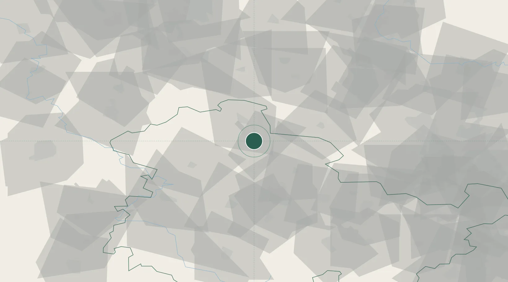
Place type
District seat
Region
Thuringia
Population
21,802
Time zone
Europe/Berlin
Elevation
192 m
Location
Nearby Logistics Neighbours
Cities
- 1Wipperdorf17 km
- 2Schlotheim19 km
- 3Menteroda23 km
- 4Wallhausen25 km
- 5Leubingen27 km
Airports
- 1Erfurt-Weimar Airport44 km
- 2Eisenach-Kindel Airport50 km
- 3Leipzig/Halle Airport95 km
- 4Kassel Airport103 km
- 5Braunschweig-Wolfsburg Airport108 km
Trade Zones
DatabookThe Record of Consolidated Knowledge
Germany beyond logistics?