Transport Functions
Port
Road
Hub Profile
Place type
Urban district
Region
Baden-Wurttemberg
Time zone
Europe/Berlin
Elevation
134 m
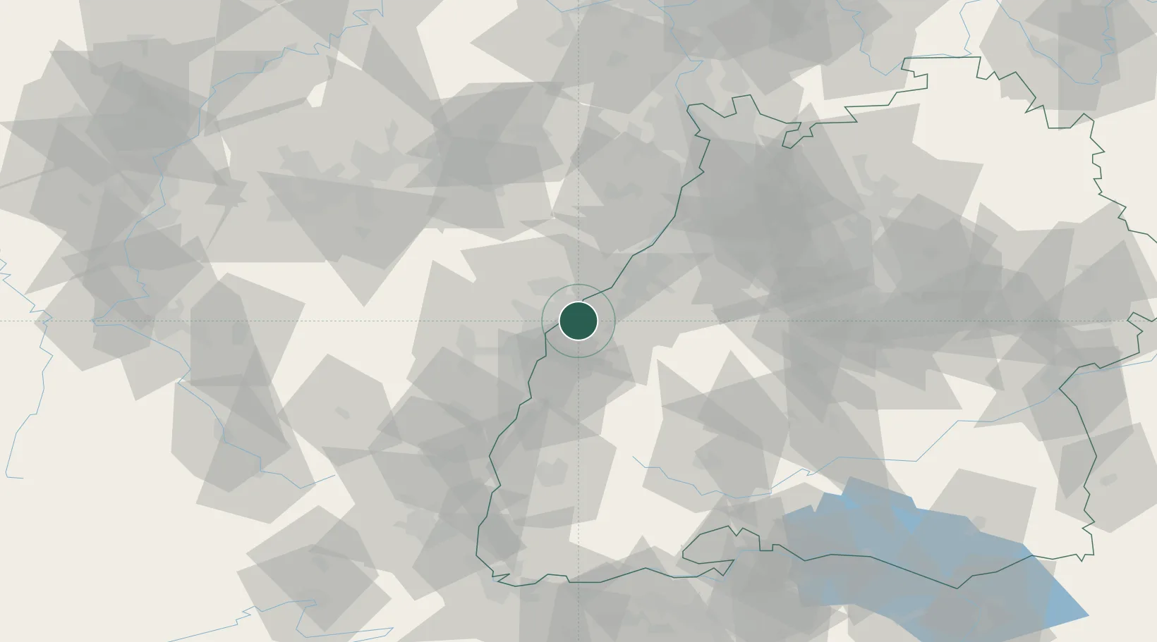
Location
Nearby Logistics Neighbours
Cities
- 1Helmlingen4 km
- 2Diersheim5 km
- 3Grauelsbaum8 km
- 4Herrlisheim8 km
- 5Lichtenau (Baden)8 km
Airports
- 1Karlsruhe Baden-Baden Airport16 km
- 2Strasbourg Airport28 km
- 3Lahr Airport34 km
- 4Phalsbourg-Bourscheid Air Base56 km
- 5Colmar Houssen airport76 km
Trade Zones
- 1ZFU Neuhof20 km
- 2ZFU Hautepierre21 km
- 3ZFU La Cité Behren-lès-Forbach93 km
- 4ZFU Mulhouse112 km
- 5ZFU Maxéville, Laxou, et de Nancy131 km
DatabookThe Record of Consolidated Knowledge
Germany beyond logistics?