Transport Functions
Rail
Road
Multimodal
Hub Profile
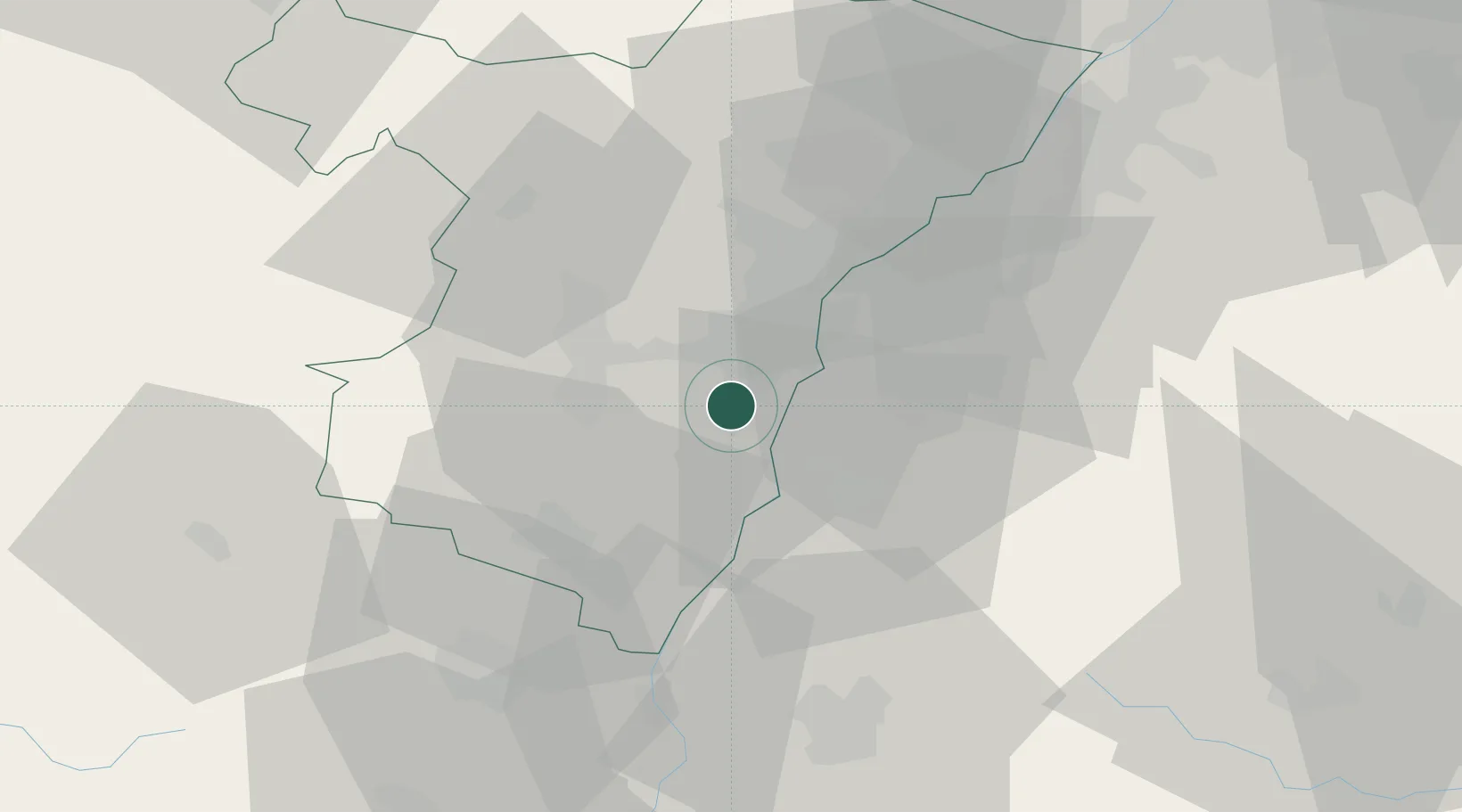
Place type
Populated place
Region
Grand Est
Population
769
Time zone
Europe/Paris
Elevation
151 m
Location
Nearby Logistics Neighbours
Cities
- 1Lipsheim2 km
- 2Nordhouse2 km
- 3Plobsheim3 km
- 4Geispolsheim6 km
- 5Duttlenheim10 km
Airports
- 1Strasbourg Airport9 km
- 2Lahr Airport15 km
- 3Karlsruhe Baden-Baden Airport45 km
- 4Colmar Houssen airport46 km
- 5Phalsbourg-Bourscheid Air Base49 km
Trade Zones
- 1ZFU Neuhof10 km
- 2ZFU Hautepierre14 km
- 3ZFU Mulhouse84 km
- 4ZFU La Cité Behren-lès-Forbach96 km
- 5ZFU Belfort112 km
DatabookThe Record of Consolidated Knowledge
France beyond logistics?