UN/LOCODE hub · Germany
DEBZL

Basel

54.7500°, 8.2167°
2
Transport functions

Transport Functions

Road
Multimodal
UN/LOCODE

Hub Profile

Place type
Locality
GeoNames
Region
North Rhine-Westphalia
GeoNames
Time zone
Europe/Berlin
GeoNames
Elevation
110 m
GeoNames

Location

Location of DEBZL
Natural Earth 10m (public domain) · North Rhine-Westphalia · DEBZL · 54.75, 8.22GoogleOSMYandex

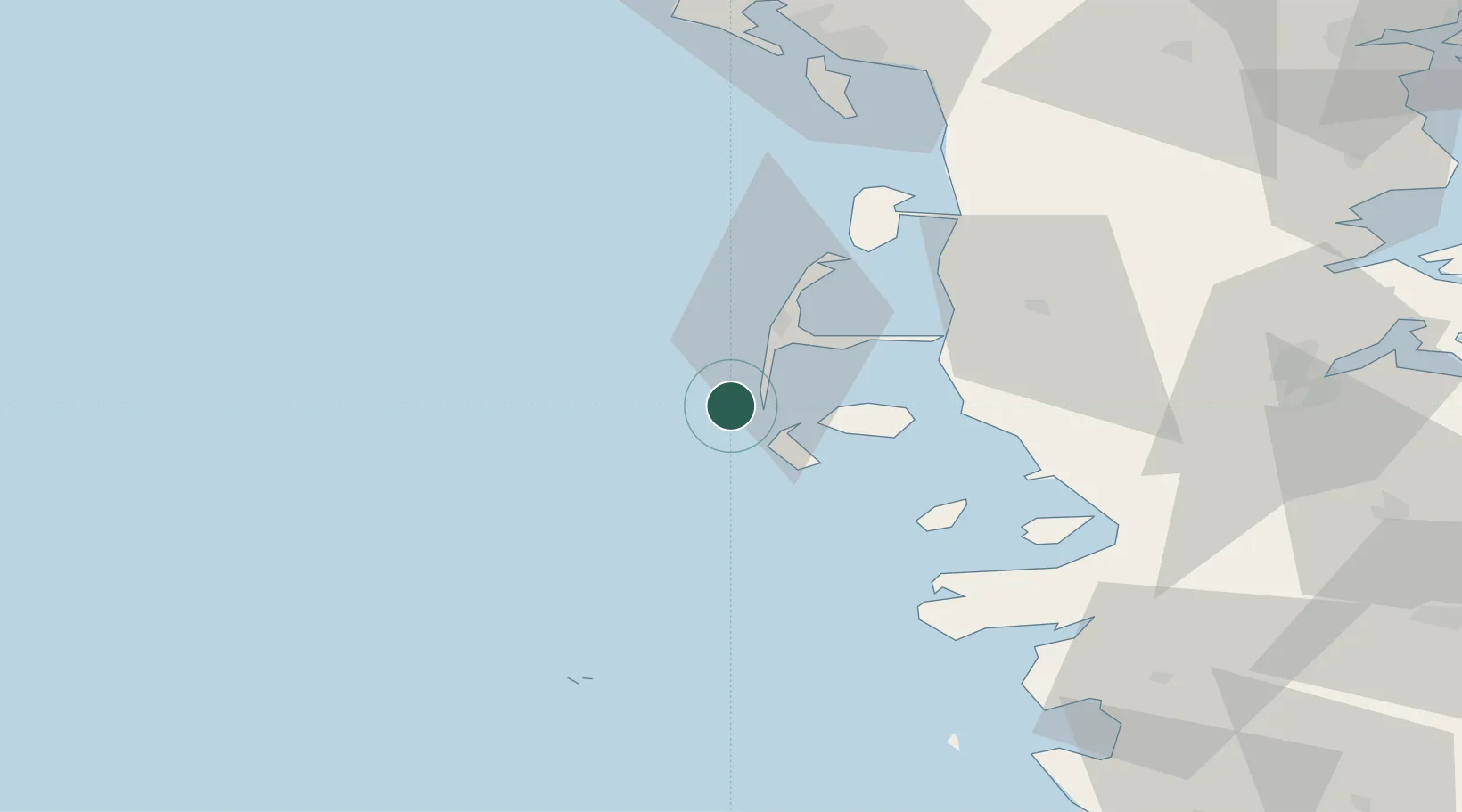
Nearby Logistics Neighbours

Cities
  1. 1Amrum14 km
  2. 2Westerland18 km
  3. 3Wittdün18 km
  4. 4Hooge30 km
  5. 5Neukirchen35 km
Nearest neighbours — logibook spatial index (haversine) over the source coordinates
Ports
  1. 1Husum61 km
  2. 2Helgoland68 km
  3. 3Flensburg78 km
  4. 4Busum80 km
  5. 5Esbjerg81 km
Nearest neighbours — logibook spatial index (haversine) over the source coordinates
Airports
  1. 1Westerland Sylt Airport20 km
  2. 2Helgoland-Düne Airport66 km
  3. 3Heide-Büsum Airport80 km
  4. 4Skrydstrup Air Base85 km
  5. 5Esbjerg Airport89 km
Nearest neighbours — logibook spatial index (haversine) over the source coordinates
Trade Zones
  1. 1Freeport of Cuxhaven (Freihafen Cuxhaven)105 km
  2. 2Freeport of Kiel134 km
  3. 3Freeport of Emden171 km
  4. 4Freeport of Bremerhaven (Freihafen Bremerhaven)188 km
  5. 5Freeport of Copenhagen- Nordhavn298 km
Nearest neighbours — logibook spatial index (haversine) over the source coordinates
DatabookThe Record of Consolidated Knowledge
Germany beyond logistics?
Browse databook

All Sources

LocationsUN/LOCODE
UN/LOCODE — free
Portsthe NGA World Port Index
Public domain (US gov)
AirportsOurAirports
Public domain
Trade Zonesthe World Bank SEZ database
CC BY 4.0
Trade ZonesOpen Zone Map
CC BY
← Germany locations