Medium airport · Denmark
Esbjerg AirportEKEB
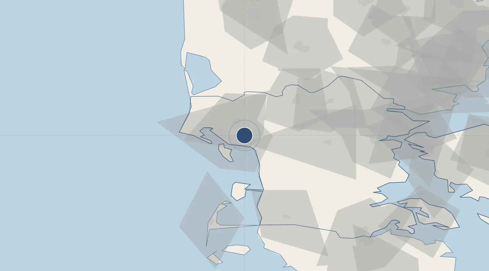
55.5259°, 8.5534°
8,527 ft
Longest runway
1
Runways
97 ft
Elevation
Runway & Layout

Radio Frequencies
AFIS
120.15 MHz
MISC
130.575 MHz
HANDLING
Navaids
HP NDB Esbjerg 376 kHz
Runways · 1
| Runway | Dimensions | Surface | True heading | Lit |
|---|---|---|---|---|
| 08/26 | 8,527 × 148ft | Asphalt | 079° | ✓ |
Airport Specifications
IATA code
EBJ
ICAO code
EKEB
Airport class
Medium airport
Scheduled service
Yes
Runway surface
Asphalt
Served city
Esbjerg
Location
Nearby Logistics Neighbours
Airports
- 1Billund Airport45 km
- 2Kolding Vamdrup Airfield50 km
- 3Stauning Vestjylland Airport53 km
- 4Skrydstrup Air Base56 km
- 5Westerland Sylt Airport70 km
Ports
- 1Esbjerg9 km
- 2Kolding60 km
- 3Ringkobing65 km
- 4Vejle66 km
- 5Skaerbaek67 km
Trade Zones
DatabookThe Record of Consolidated Knowledge
Denmark beyond logistics?