Medium airport · Germany

Westerland Sylt AirportEDXW
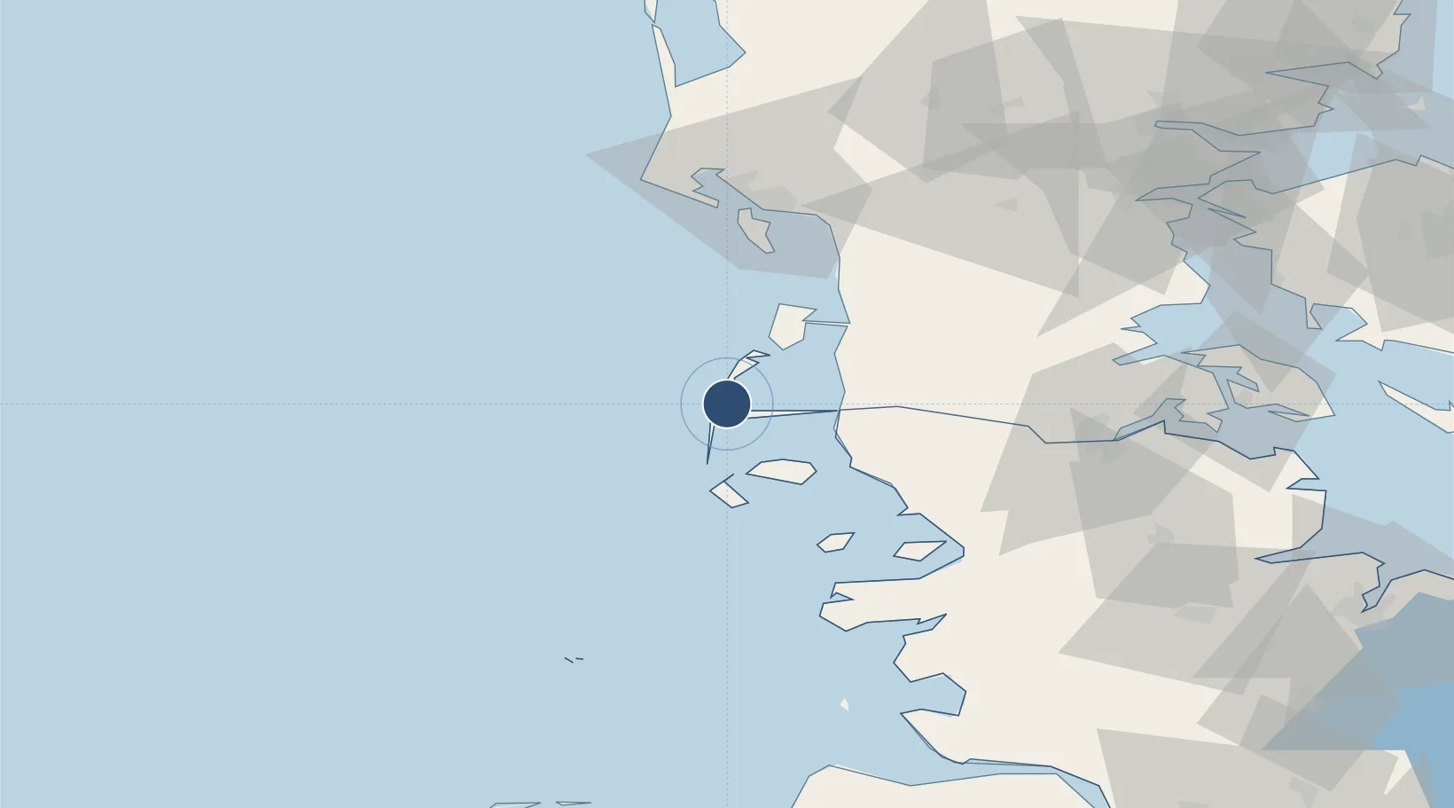
54.9132°, 8.3405°
6,955 ft
Longest runway
2
Runways
51 ft
Elevation

Runway & Layout

Westerland Sylt Airport runway & taxiway layout
Runway & taxiway layout — OpenStreetMap (ODbL) / OurAirports

Radio Frequencies

ATIS
118.4 MHz
Sylt ATIS
TWR
119.75 MHz
SYLT Tower / Turm
AFIS
125.1 MHz
Langen Information
INFO
119.75 MHz
Sylt Radio
RDR
136.225 MHz
BREMEN RADAR
OurAirports

Navaids

SLT NDB Sylt 387 kHz
WES DME Westerland 111.50 MHz
OurAirports

Runways · 2

RunwayDimensions SurfaceTrue headingLit
14/32 6,955 × 148ft Concrete 142°
06/24 5,564 × 148ft Concrete 058°
OurAirports

Airport Specifications

IATA code
GWT
OurAirports
ICAO code
EDXW
OurAirports
Airport class
Medium airport
OurAirports
Scheduled service
Yes
OurAirports
Runway surface
Concrete
OurAirports
Served city
Sylt
OurAirports

Location

Location of EDXW
Natural Earth 10m (public domain) · Schleswig-Holstein · EDXW · 54.91, 8.34GoogleOSMYandex

Nearby Logistics Neighbours

Airports
  1. 1Skrydstrup Air Base68 km
  2. 2Esbjerg Airport70 km
  3. 3Helgoland-Düne Airport85 km
  4. 4Kolding Vamdrup Airfield86 km
  5. 5Schleswig Air Base91 km
Nearest neighbours — logibook spatial index (haversine) over the source coordinates
Cities
  1. 1Westerland3 km
  2. 2Basel20 km
  3. 3Neukirchen25 km
  4. 4Romo27 km
  5. 5Amrum29 km
Nearest neighbours — logibook spatial index (haversine) over the source coordinates
Ports
  1. 1Esbjerg62 km
  2. 2Husum66 km
  3. 3Ensted71 km
  4. 4Flensburg71 km
  5. 5Abenra71 km
Nearest neighbours — logibook spatial index (haversine) over the source coordinates
Trade Zones
  1. 1Freeport of Cuxhaven (Freihafen Cuxhaven)122 km
  2. 2Freeport of Kiel134 km
  3. 3Freeport of Emden191 km
  4. 4Freeport of Bremerhaven (Freihafen Bremerhaven)205 km
  5. 5Freeport of Copenhagen- Nordhavn284 km
Nearest neighbours — logibook spatial index (haversine) over the source coordinates
DatabookThe Record of Consolidated Knowledge
Germany beyond logistics?
Browse databook

All Sources

AirportsOurAirports
Public domain
Portsthe NGA World Port Index
Public domain (US gov)
LocationsUN/LOCODE
UN/LOCODE — free
Trade Zonesthe World Bank SEZ database
CC BY 4.0
Trade ZonesOpen Zone Map
CC BY
InfrastructureOpenStreetMap
ODbL 1.0
← Germany airports