Medium airport · Denmark

Skrydstrup Air BaseEKSP
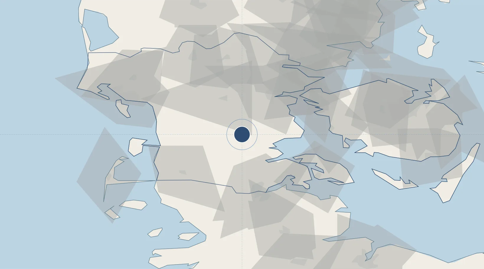
55.2210°, 9.2670°
9,863 ft
Longest runway
2
Runways
141 ft
Elevation

Runway & Layout

Skrydstrup Air Base runway & taxiway layout
Runway & taxiway layout — OpenStreetMap (ODbL) / OurAirports

Radio Frequencies

TWR
128.325 MHz
APP
127.475 MHz
OurAirports

Navaids

SKR VORTAC Skrydstrup 110.40 MHz
OurAirports

Runways · 2

RunwayDimensions SurfaceTrue headingLit
10L/28R 9,863 × 150ft Asphalt / concrete 105°
10R/28L 9,750 × 80ft Asphalt / concrete 105°
OurAirports

Airport Specifications

IATA code
SKS
OurAirports
ICAO code
EKSP
OurAirports
Airport class
Medium airport
OurAirports
Scheduled service
No
OurAirports
Runway surface
Asphalt / concrete
OurAirports
Served city
Vojens
OurAirports

Location

Location of EKSP
Natural Earth 10m (public domain) · Syddanmark · EKSP · 55.22, 9.27GoogleOSMYandex

Nearby Logistics Neighbours

Airports
  1. 1Kolding Vamdrup Airfield24 km
  2. 2Sønderborg Airport44 km
  3. 3Esbjerg Airport56 km
  4. 4Billund Airport58 km
  5. 5Westerland Sylt Airport68 km
Nearest neighbours — logibook spatial index (haversine) over the source coordinates
Cities
  1. 1Rødekro18 km
  2. 2Åbenrå23 km
  3. 3Enstedværket Havn25 km
  4. 4Styrtom25 km
  5. 5Nagbol26 km
Nearest neighbours — logibook spatial index (haversine) over the source coordinates
Ports
  1. 1Haderslev15 km
  2. 2Abenra22 km
  3. 3Ensted25 km
  4. 4Kolding33 km
  5. 5Assens39 km
Nearest neighbours — logibook spatial index (haversine) over the source coordinates
Trade Zones
  1. 1Freeport of Kiel115 km
  2. 2Freeport of Cuxhaven (Freihafen Cuxhaven)162 km
  3. 3Freeport of Copenhagen- Nordhavn217 km
  4. 4Freeport of Bremerhaven (Freihafen Bremerhaven)239 km
  5. 5MTS Malmö Transport and Spedition245 km
Nearest neighbours — logibook spatial index (haversine) over the source coordinates
DatabookThe Record of Consolidated Knowledge
Denmark beyond logistics?
Browse databook

All Sources

AirportsOurAirports
Public domain
Portsthe NGA World Port Index
Public domain (US gov)
LocationsUN/LOCODE
UN/LOCODE — free
Trade Zonesthe World Bank SEZ database
CC BY 4.0
Trade ZonesOpen Zone Map
CC BY
InfrastructureOpenStreetMap
ODbL 1.0
← Denmark airports