UN/LOCODE hub · Germany
DEHGE

Hooge

54.5667°, 8.5500°
91
Population
2
Transport functions

Transport Functions

Port
Road
UN/LOCODE

Hub Profile

Place type
Local administrative seat
GeoNames
Region
Schleswig-Holstein
GeoNames
Population
91
GeoNames
Time zone
Europe/Berlin
GeoNames
Elevation
0 m
GeoNames

Location

Location of DEHGE
Natural Earth 10m (public domain) · Schleswig-Holstein · DEHGE · 54.57, 8.55GoogleOSMYandex

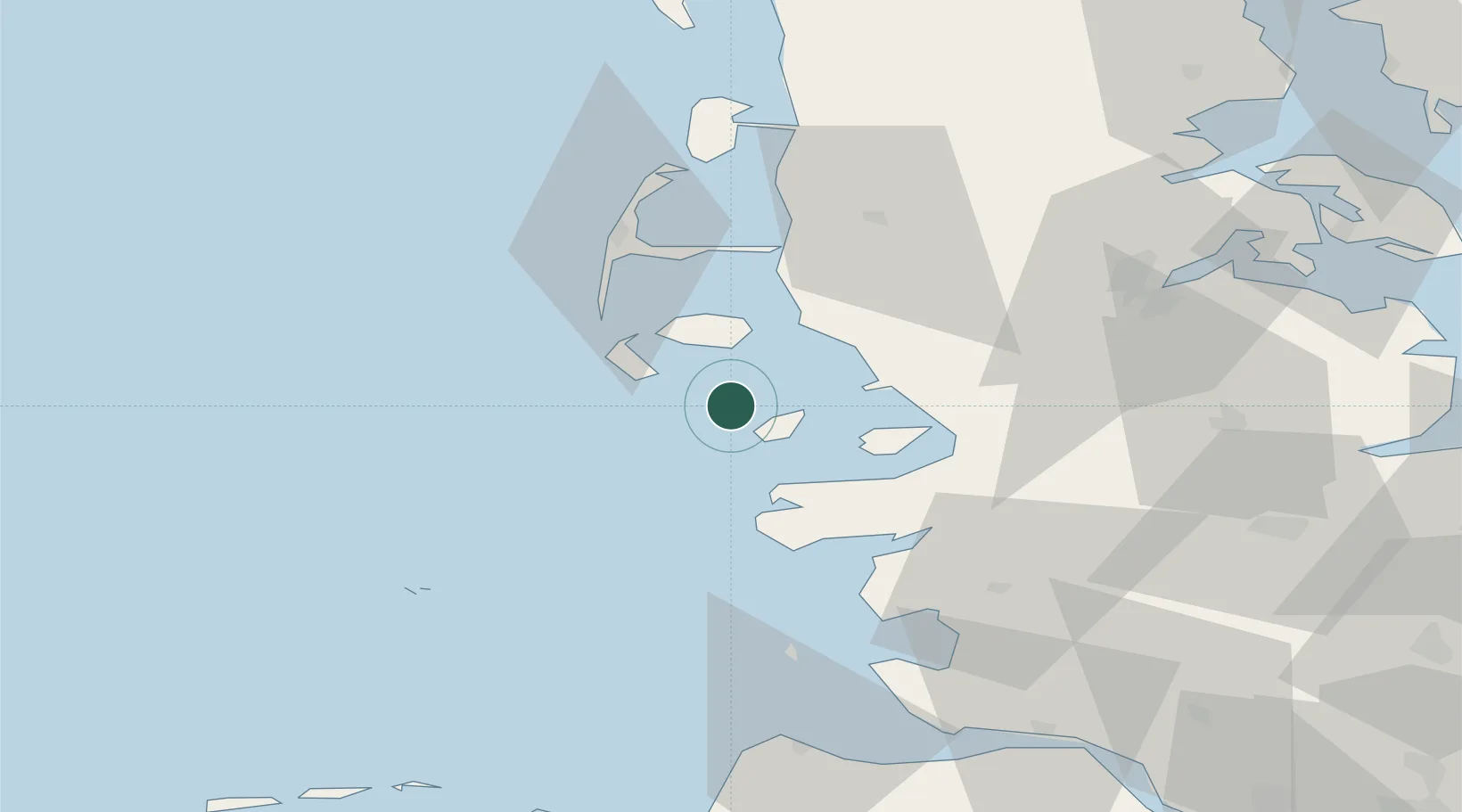
Nearby Logistics Neighbours

Cities
  1. 1Pellworm8 km
  2. 2Wittdün12 km
  3. 3Gröde13 km
  4. 4Amrum16 km
  5. 5Schluettsiel18 km
Nearest neighbours — logibook spatial index (haversine) over the source coordinates
Ports
  1. 1Husum34 km
  2. 2Busum52 km
  3. 3Helgoland61 km
  4. 4Flensburg62 km
  5. 5Ensted76 km
Nearest neighbours — logibook spatial index (haversine) over the source coordinates
Airports
  1. 1Westerland Sylt Airport41 km
  2. 2Heide-Büsum Airport51 km
  3. 3Helgoland-Düne Airport59 km
  4. 4Schleswig Air Base64 km
  5. 5Hohn Air Base70 km
Nearest neighbours — logibook spatial index (haversine) over the source coordinates
Trade Zones
  1. 1Freeport of Cuxhaven (Freihafen Cuxhaven)82 km
  2. 2Freeport of Kiel108 km
  3. 3Freeport of Emden163 km
  4. 4Freeport of Bremerhaven (Freihafen Bremerhaven)165 km
  5. 5Freeport of Copenhagen- Nordhavn287 km
Nearest neighbours — logibook spatial index (haversine) over the source coordinates
DatabookThe Record of Consolidated Knowledge
Germany beyond logistics?
Browse databook

All Sources

LocationsUN/LOCODE
UN/LOCODE — free
LocationsGeoNames
CC BY 4.0
Portsthe NGA World Port Index
Public domain (US gov)
AirportsOurAirports
Public domain
Trade Zonesthe World Bank SEZ database
CC BY 4.0
Trade ZonesOpen Zone Map
CC BY
← Germany locations