UN/LOCODE hub · Germany
DEIAM

Amrum

54.6500°, 8.3500°
1
Transport functions

Transport Functions

Port
UN/LOCODE

Hub Profile

Region
SH
GeoNames

Location

Location of DEIAM
Natural Earth 10m (public domain) · SH · DEIAM · 54.65, 8.35GoogleOSMYandex

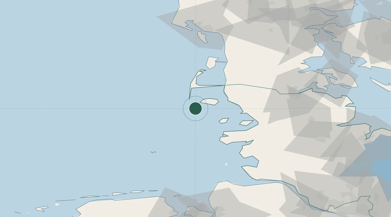
Nearby Logistics Neighbours

Cities
  1. 1Wittdün4 km
  2. 2Basel14 km
  3. 3Hooge16 km
  4. 4Pellworm24 km
  5. 5Gröde24 km
Nearest neighbours — logibook spatial index (haversine) over the source coordinates
Ports
  1. 1Husum49 km
  2. 2Helgoland61 km
  3. 3Busum67 km
  4. 4Flensburg72 km
  5. 5Ensted81 km
Nearest neighbours — logibook spatial index (haversine) over the source coordinates
Airports
  1. 1Westerland Sylt Airport29 km
  2. 2Helgoland-Düne Airport59 km
  3. 3Heide-Büsum Airport66 km
  4. 4Schleswig Air Base78 km
  5. 5Hohn Air Base86 km
Nearest neighbours — logibook spatial index (haversine) over the source coordinates
Trade Zones
  1. 1Freeport of Cuxhaven (Freihafen Cuxhaven)93 km
  2. 2Freeport of Kiel123 km
  3. 3Freeport of Emden165 km
  4. 4Freeport of Bremerhaven (Freihafen Bremerhaven)176 km
  5. 5Freeport of Copenhagen- Nordhavn295 km
Nearest neighbours — logibook spatial index (haversine) over the source coordinates
DatabookThe Record of Consolidated Knowledge
Germany beyond logistics?
Browse databook

All Sources

LocationsUN/LOCODE
UN/LOCODE — free
Portsthe NGA World Port Index
Public domain (US gov)
AirportsOurAirports
Public domain
Trade Zonesthe World Bank SEZ database
CC BY 4.0
Trade ZonesOpen Zone Map
CC BY
← Germany locations