Transport Functions
Rail
Road
Airport
Hub Profile
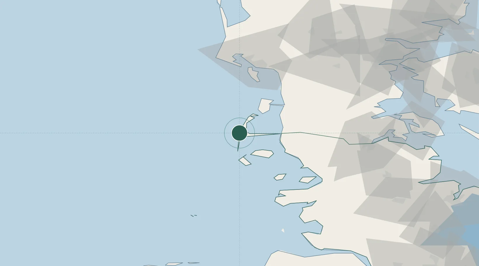
Place type
Populated place
Region
Schleswig-Holstein
Population
12,500
Time zone
Europe/Berlin
Elevation
8 m
Location
Nearby Logistics Neighbours
Cities
- 1Basel18 km
- 2Neukirchen27 km
- 3Amrum28 km
- 4Romo29 km
- 5Wittdün30 km
Airports
- 1Westerland Sylt Airport3 km
- 2Skrydstrup Air Base71 km
- 3Esbjerg Airport71 km
- 4Helgoland-Düne Airport83 km
- 5Kolding Vamdrup Airfield89 km
Trade Zones
DatabookThe Record of Consolidated Knowledge
Germany beyond logistics?