Seaport · Denmark

EsbjergDKEBJ

55.4667°, 8.4500°
9.4 m
Channel depth
17.9
Port liner connectivity
Esbjerg is also a UN/LOCODE logistics hub →

Channel & Berth Profile

SEA LEVEL (CD)CHANNEL BEDOil terminal · 6.4 mCargo pier · 7.9 mChannel · 9.4 mAnchorage · 11.0 m
NGA World Port Index

Pilotage, Tugs & Services

Pilotage compulsoryYES
Pilotage availableYES
Pilotage advisableYES
Tug assistanceYES
Potable waterYES
MedicalYES
Garbage disposalYES
NGA World Port Index

Facilities & Capabilities

Container
Ro-Ro
Liquid bulk
Dry bulk
Oil terminal
Break bulk
Dry dockNO
RepairsNO
BunkeringYES
Rail linkYES
Dangerous cargo
ISPS security
NGA World Port Index

Harbour Specifications

Harbour size
Small
NGA World Port Index
Harbour type
Coastal (Natural)
NGA World Port Index
Shelter
Good
NGA World Port Index
Water body
North Sea; North Atlantic Ocean
NGA World Port Index
Tidal range
1 m
NGA World Port Index
Overhead limit
Yes
NGA World Port Index
Pilotage
Yes
NGA World Port Index

Liner Connectivity

17.9
PLSCI

Port Liner Shipping Connectivity Index for Esbjerg, as published by UNCTAD for the latest available quarter. Higher values indicate stronger scheduled liner-shipping integration.

Shown relative to the highest per-port PLSCI in the dataset (1,657.9).
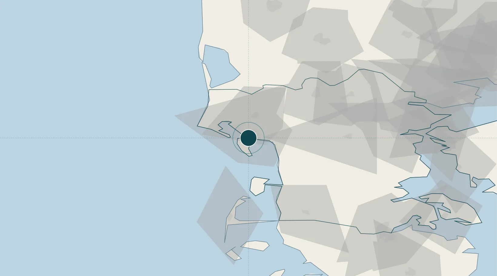
UNCTAD · Port Liner Shipping Connectivity Index

Location

Location of DKEBJ
Natural Earth 10m (public domain) · Syddanmark · DKEBJ · 55.47, 8.45GoogleOSMYandex

Nearby Logistics Neighbours

Ports
  1. 1Kolding66 km
  2. 2Ringkobing70 km
  3. 3Haderslev71 km
  4. 4Skaerbaek74 km
  5. 5Vejle75 km
Nearest neighbours — logibook spatial index (haversine) over the source coordinates
Cities
  1. 1Fanoe6 km
  2. 2Hjerting8 km
  3. 3Aarre18 km
  4. 4Arre18 km
  5. 5Oksbol21 km
Nearest neighbours — logibook spatial index (haversine) over the source coordinates
Airports
  1. 1Esbjerg Airport9 km
  2. 2Billund Airport54 km
  3. 3Kolding Vamdrup Airfield56 km
  4. 4Skrydstrup Air Base58 km
  5. 5Stauning Vestjylland Airport59 km
Nearest neighbours — logibook spatial index (haversine) over the source coordinates
Trade Zones
  1. 1Freeport of Kiel167 km
  2. 2Freeport of Cuxhaven (Freihafen Cuxhaven)183 km
  3. 3Freeport of Emden251 km
  4. 4Freeport of Copenhagen- Nordhavn262 km
  5. 5Freeport of Bremerhaven (Freihafen Bremerhaven)265 km
Nearest neighbours — logibook spatial index (haversine) over the source coordinates
DatabookThe Record of Consolidated Knowledge
Denmark beyond logistics?
Browse databook

All Sources

Portsthe NGA World Port Index
Public domain (US gov)
Logistics performanceUNCTAD
CC BY 3.0 IGO
AirportsOurAirports
Public domain
LocationsUN/LOCODE
UN/LOCODE — free
Trade Zonesthe World Bank SEZ database
CC BY 4.0
Trade ZonesOpen Zone Map
CC BY
← Denmark ports