Seaport · Germany

HelgolandDEHGL

54.1724°, 7.8957°
Helgoland is also a UN/LOCODE logistics hub →

Channel & Berth Profile

NGA World Port Index

Facilities & Capabilities

Container
Ro-Ro
Liquid bulk
Dry bulk
Oil terminal
Break bulk
Dry dock
Repairs
Bunkering
Rail link
Dangerous cargo
ISPS security
NGA World Port Index

Harbour Specifications
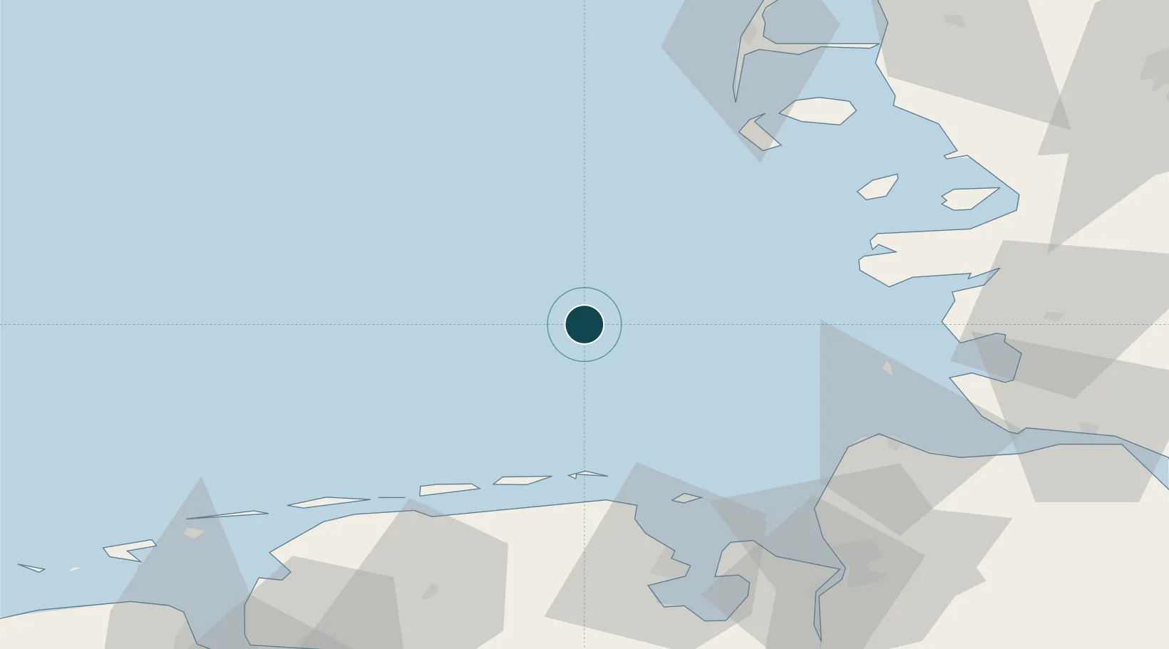
Water body
North Sea; North Atlantic Ocean
NGA World Port Index

Location

Location of DEHGL
Natural Earth 10m (public domain) · Schleswig-Holstein · DEHGL · 54.17, 7.90GoogleOSMYandex

Nearby Logistics Neighbours

Ports
  1. 1Busum63 km
  2. 2Cuxhaven64 km
  3. 3Wilhelmshaven73 km
  4. 4Husum82 km
  5. 5Bremerhaven84 km
Nearest neighbours — logibook spatial index (haversine) over the source coordinates
Cities
  1. 1Wangerooge41 km
  2. 2Spiekeroog47 km
  3. 3Minsen53 km
  4. 4Carolinensiel53 km
  5. 5Harlesiel53 km
Nearest neighbours — logibook spatial index (haversine) over the source coordinates
Airports
  1. 1Helgoland-Düne Airport2 km
  2. 2Wangerooge Airport43 km
  3. 3Harlesiel Airfield52 km
  4. 4Baltrum Airport60 km
  5. 5Heide-Büsum Airport66 km
Nearest neighbours — logibook spatial index (haversine) over the source coordinates
Trade Zones
  1. 1Freeport of Cuxhaven (Freihafen Cuxhaven)58 km
  2. 2Freeport of Emden104 km
  3. 3Freeport of Bremerhaven (Freihafen Bremerhaven)133 km
  4. 4Freeport of Kiel149 km
  5. 5Freeport of Duisburg316 km
Nearest neighbours — logibook spatial index (haversine) over the source coordinates
DatabookThe Record of Consolidated Knowledge
Germany beyond logistics?
Browse databook

All Sources

Portsthe NGA World Port Index
Public domain (US gov)
AirportsOurAirports
Public domain
LocationsUN/LOCODE
UN/LOCODE — free
Trade Zonesthe World Bank SEZ database
CC BY 4.0
Trade ZonesOpen Zone Map
CC BY
← Germany ports