UN/LOCODE hub · Germany
DENNF

Neukirchen

54.8667°, 8.7167°
1,363
Population
1
Transport functions

Transport Functions

Multimodal
UN/LOCODE

Hub Profile

Place type
Local administrative seat
GeoNames
Region
Schleswig-Holstein
GeoNames
Population
1,363
GeoNames
Time zone
Europe/Berlin
GeoNames
Elevation
1 m
GeoNames

Location

Location of DENNF
Natural Earth 10m (public domain) · Schleswig-Holstein · DENNF · 54.87, 8.72GoogleOSMYandex

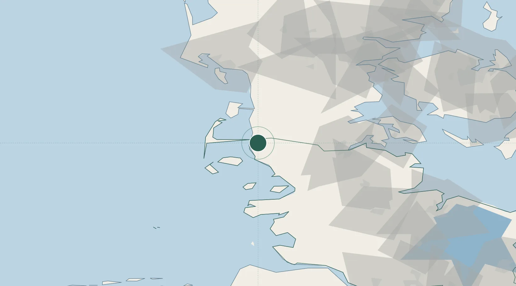
Nearby Logistics Neighbours

Cities
  1. 1Süderlügum13 km
  2. 2Risum-Lindholm16 km
  3. 3Schluettsiel21 km
  4. 4Gröde26 km
  5. 5Westerland27 km
Nearest neighbours — logibook spatial index (haversine) over the source coordinates
Ports
  1. 1Flensburg47 km
  2. 2Husum48 km
  3. 3Ensted49 km
  4. 4Abenra50 km
  5. 5Haderslev66 km
Nearest neighbours — logibook spatial index (haversine) over the source coordinates
Airports
  1. 1Westerland Sylt Airport25 km
  2. 2Skrydstrup Air Base53 km
  3. 3Schleswig Air Base69 km
  4. 4Sønderborg Airport70 km
  5. 5Esbjerg Airport74 km
Nearest neighbours — logibook spatial index (haversine) over the source coordinates
Trade Zones
  1. 1Freeport of Kiel111 km
  2. 2Freeport of Cuxhaven (Freihafen Cuxhaven)116 km
  3. 3Freeport of Emden197 km
  4. 4Freeport of Bremerhaven (Freihafen Bremerhaven)197 km
  5. 5Freeport of Copenhagen- Nordhavn263 km
Nearest neighbours — logibook spatial index (haversine) over the source coordinates
DatabookThe Record of Consolidated Knowledge
Germany beyond logistics?
Browse databook

All Sources

LocationsUN/LOCODE
UN/LOCODE — free
LocationsGeoNames
CC BY 4.0
Portsthe NGA World Port Index
Public domain (US gov)
AirportsOurAirports
Public domain
Trade Zonesthe World Bank SEZ database
CC BY 4.0
Trade ZonesOpen Zone Map
CC BY
← Germany locations