Transport Functions
Multimodal
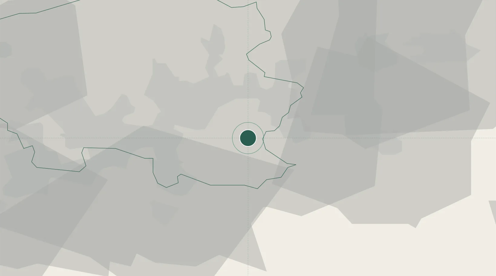
Hub Profile
Place type
Populated place
Region
Saarland
Population
23,212
Time zone
Europe/Berlin
Elevation
242 m
Location
Nearby Logistics Neighbours
Cities
- 1Zweibrücken9 km
- 2Mandelbachtal10 km
- 3Gersheim10 km
- 4Sankt Ingbert11 km
- 5Neunkirchen14 km
Airports
Trade Zones
- 1ZFU La Cité Behren-lès-Forbach25 km
- 2ZFU Hautepierre78 km
- 3ZFU Metz80 km
- 4ZFU Woippy-Metz81 km
- 5ZFU Neuhof86 km
DatabookThe Record of Consolidated Knowledge
Germany beyond logistics?