Transport Functions
Port
Rail
Road
Hub Profile
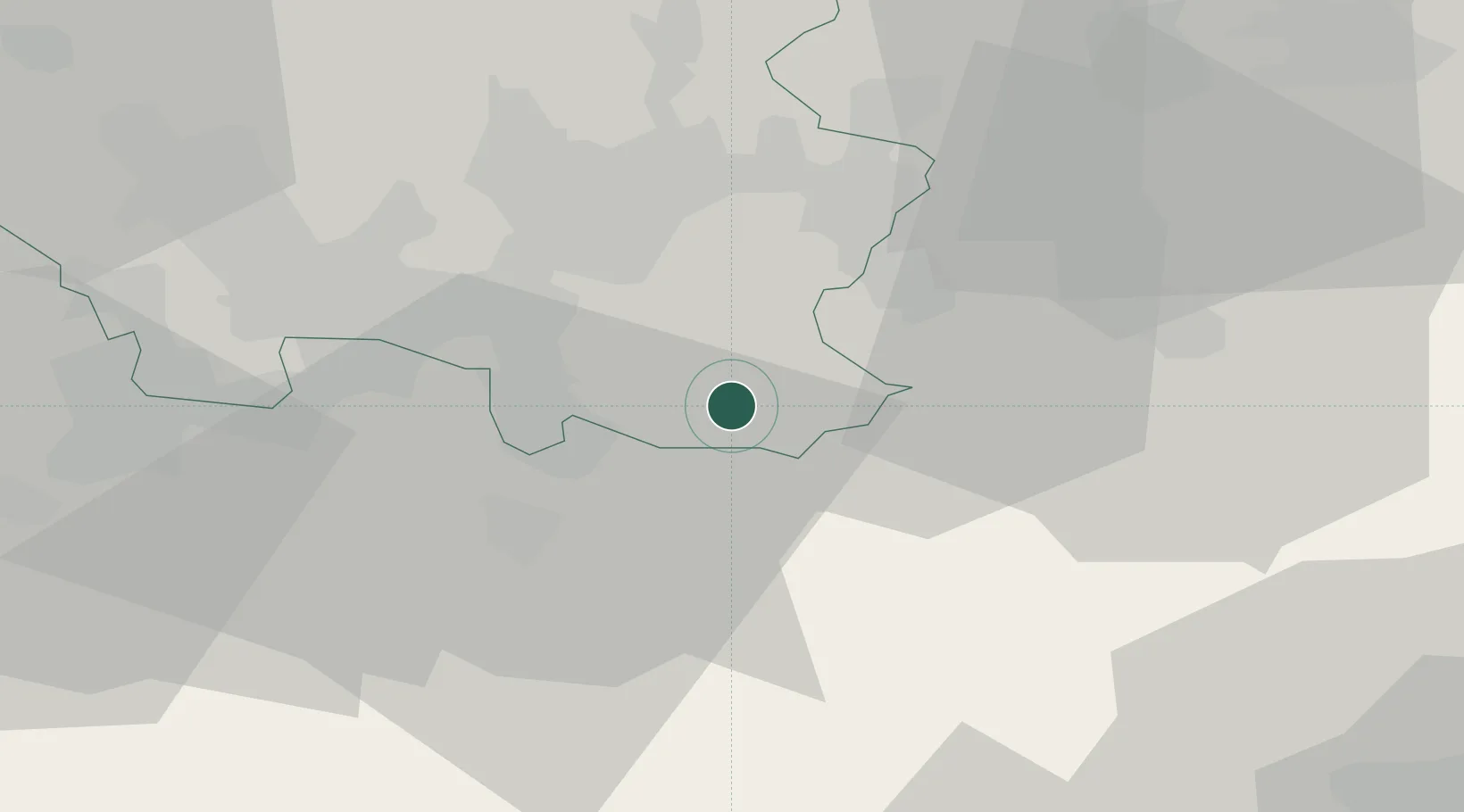
Place type
Local administrative seat
Region
Saarland
Population
7,264
Time zone
Europe/Berlin
Elevation
255 m
Location
Nearby Logistics Neighbours
Cities
- 1Mandelbachtal4 km
- 2Blieskastel10 km
- 3Sarreguemines12 km
- 4Zweibrücken16 km
- 5Sankt Ingbert17 km
Airports
- 1Saarbrücken Airport11 km
- 2Ramstein Air Base42 km
- 3Phalsbourg-Bourscheid Air Base43 km
- 4Metz-Nancy-Lorraine Airport73 km
- 5Strasbourg Airport74 km
Trade Zones
- 1ZFU La Cité Behren-lès-Forbach21 km
- 2ZFU Hautepierre71 km
- 3ZFU Metz77 km
- 4ZFU Woippy-Metz78 km
- 5ZFU Neuhof79 km
DatabookThe Record of Consolidated Knowledge
Germany beyond logistics?