Transport Functions
Rail
Road
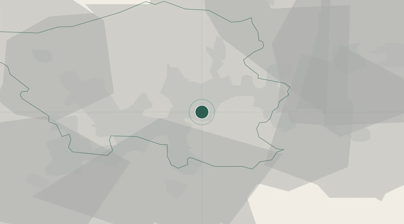
Hub Profile
Place type
Populated place
Region
Saarland
Population
38,697
Time zone
Europe/Berlin
Elevation
230 m
Location
Nearby Logistics Neighbours
Cities
- 1Sulzbach/Saar4 km
- 2Neunkirchen9 km
- 3Schiffweiler9 km
- 4Wemmetsweiler10 km
- 5Blieskastel11 km
Airports
- 1Saarbrücken Airport8 km
- 2Ramstein Air Base39 km
- 3Phalsbourg-Bourscheid Air Base58 km
- 4Metz-Nancy-Lorraine Airport71 km
- 5Frankfurt-Hahn Airport75 km
Trade Zones
- 1ZFU La Cité Behren-lès-Forbach19 km
- 2ZFU Woippy-Metz72 km
- 3ZFU Metz72 km
- 4Luxembourg Free Port76 km
- 5ZFU Hautepierre87 km
DatabookThe Record of Consolidated Knowledge
Germany beyond logistics?