Transport Functions
Rail
Road
Hub Profile
Place type
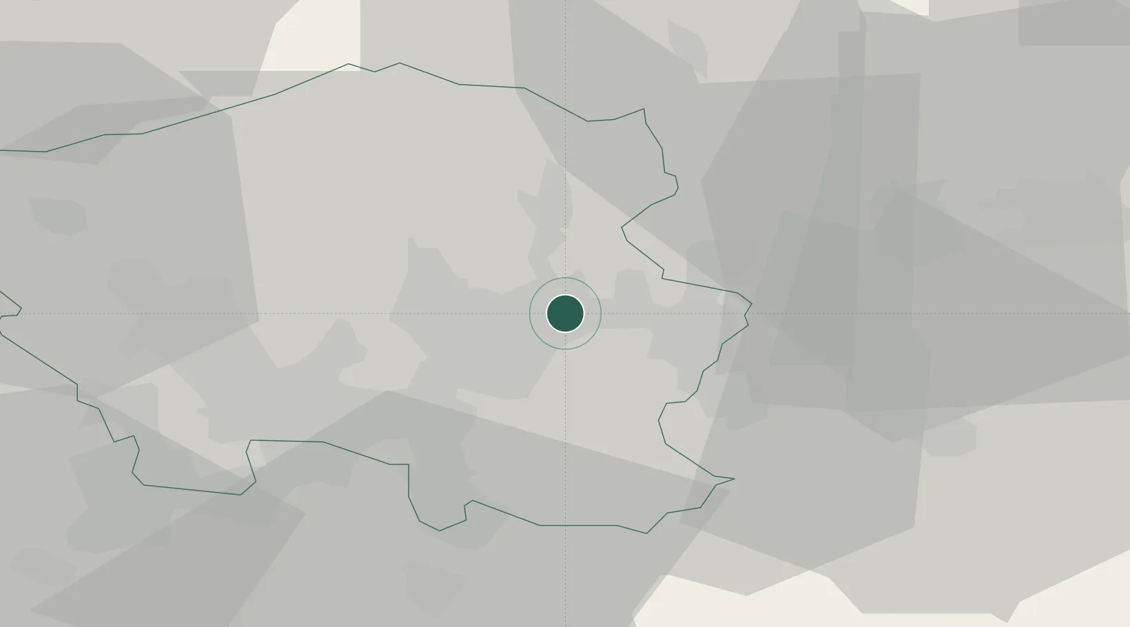
District seat
Region
Saarland
Population
49,843
Time zone
Europe/Berlin
Elevation
289 m
Location
Nearby Logistics Neighbours
Cities
- 1Schiffweiler4 km
- 2Wemmetsweiler8 km
- 3Sankt Ingbert9 km
- 4Sulzbach/Saar11 km
- 5Sankt Wendel13 km
Airports
Trade Zones
- 1ZFU La Cité Behren-lès-Forbach28 km
- 2Luxembourg Free Port77 km
- 3ZFU Woippy-Metz78 km
- 4ZFU Metz79 km
- 5ZFU Hautepierre92 km
DatabookThe Record of Consolidated Knowledge
Germany beyond logistics?