Transport Functions
Multimodal
Hub Profile
Region
SL
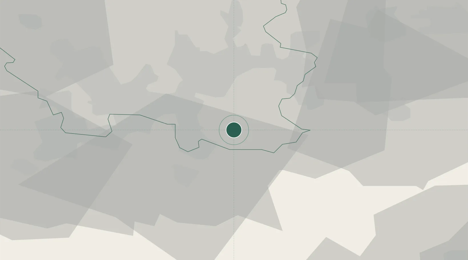
Location
Nearby Logistics Neighbours
Cities
- 1Gersheim4 km
- 2Sarreguemines9 km
- 3Blieskastel10 km
- 4Sankt Ingbert14 km
- 5Sulzbach/Saar15 km
Airports
- 1Saarbrücken Airport7 km
- 2Ramstein Air Base44 km
- 3Phalsbourg-Bourscheid Air Base45 km
- 4Metz-Nancy-Lorraine Airport70 km
- 5Strasbourg Airport78 km
Trade Zones
- 1ZFU La Cité Behren-lès-Forbach17 km
- 2ZFU Metz74 km
- 3ZFU Woippy-Metz74 km
- 4ZFU Hautepierre74 km
- 5ZFU Neuhof82 km
DatabookThe Record of Consolidated Knowledge
Germany beyond logistics?