Transport Functions
Rail
Road
Hub Profile
Place type
Local administrative seat
Region
Rheinland-Pfalz
Population
2,457
Time zone
Europe/Berlin
Elevation
100 m
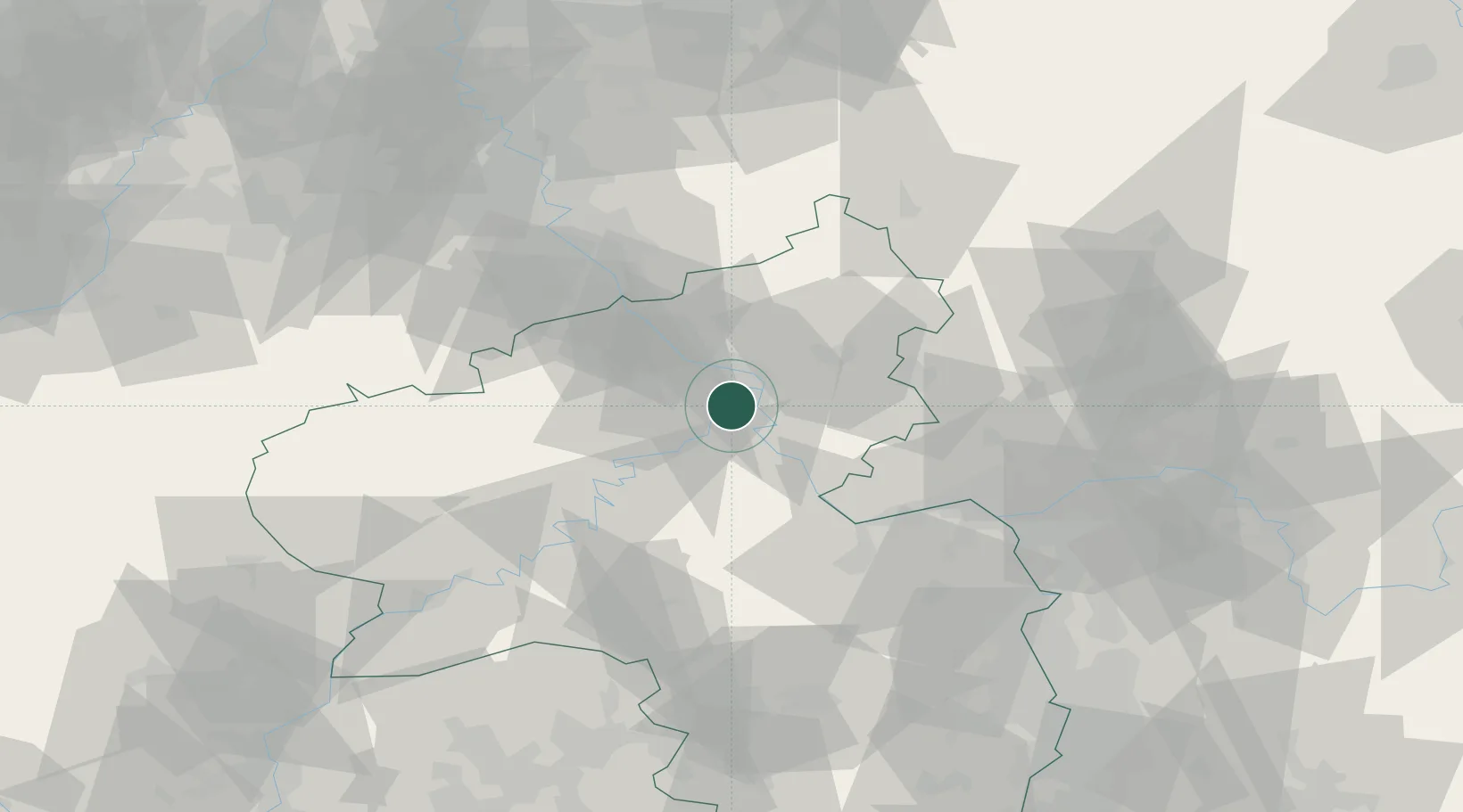
Location
Nearby Logistics Neighbours
Cities
- 1Bassenheim7 km
- 2Ehrenbreitstein8 km
- 3Urmitz9 km
- 4Siebenborn10 km
- 5Koblenz am Rhein10 km
Airports
- 1Büchel Air Base36 km
- 2Frankfurt-Hahn Airport45 km
- 3Siegerland Airport59 km
- 4Mainz-Finthen Airfield59 km
- 5Wiesbaden Army Airfield65 km
Trade Zones
- 1Rheinische Revier SWZ104 km
- 2Luxembourg Free Port119 km
- 3ZFU La Cité Behren-lès-Forbach135 km
- 4Freeport of Duisburg142 km
- 5ZFU Woippy-Metz163 km
DatabookThe Record of Consolidated Knowledge
Germany beyond logistics?