Transport Functions
Rail
Road
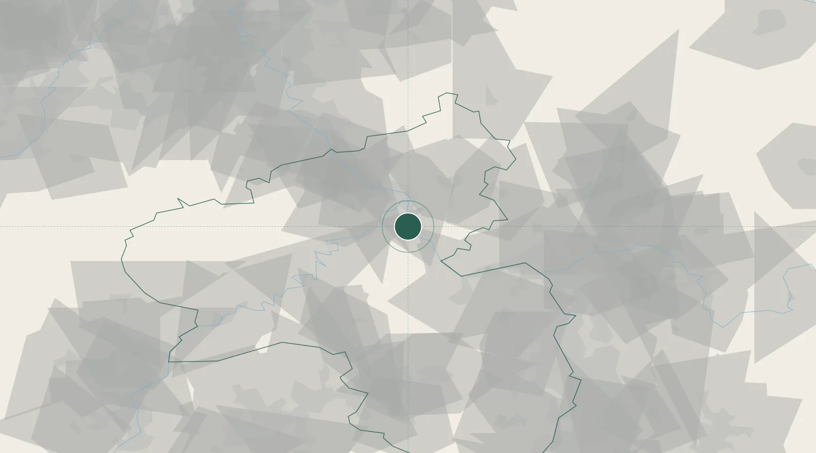
Hub Profile
Place type
Populated place
Region
Rheinland-Pfalz
Population
16,215
Time zone
Europe/Berlin
Elevation
80 m
Location
Nearby Logistics Neighbours
Cities
- 1Spay4 km
- 2Siebenborn4 km
- 3Braubach7 km
- 4Am Hund10 km
- 5Brodenbach11 km
Airports
- 1Büchel Air Base39 km
- 2Frankfurt-Hahn Airport40 km
- 3Mainz-Finthen Airfield49 km
- 4Wiesbaden Army Airfield56 km
- 5Siegerland Airport63 km
Trade Zones
- 1Rheinische Revier SWZ114 km
- 2Luxembourg Free Port119 km
- 3ZFU La Cité Behren-lès-Forbach128 km
- 4Freeport of Duisburg153 km
- 5ZFU Woippy-Metz159 km
DatabookThe Record of Consolidated Knowledge
Germany beyond logistics?