Transport Functions
Rail
Road
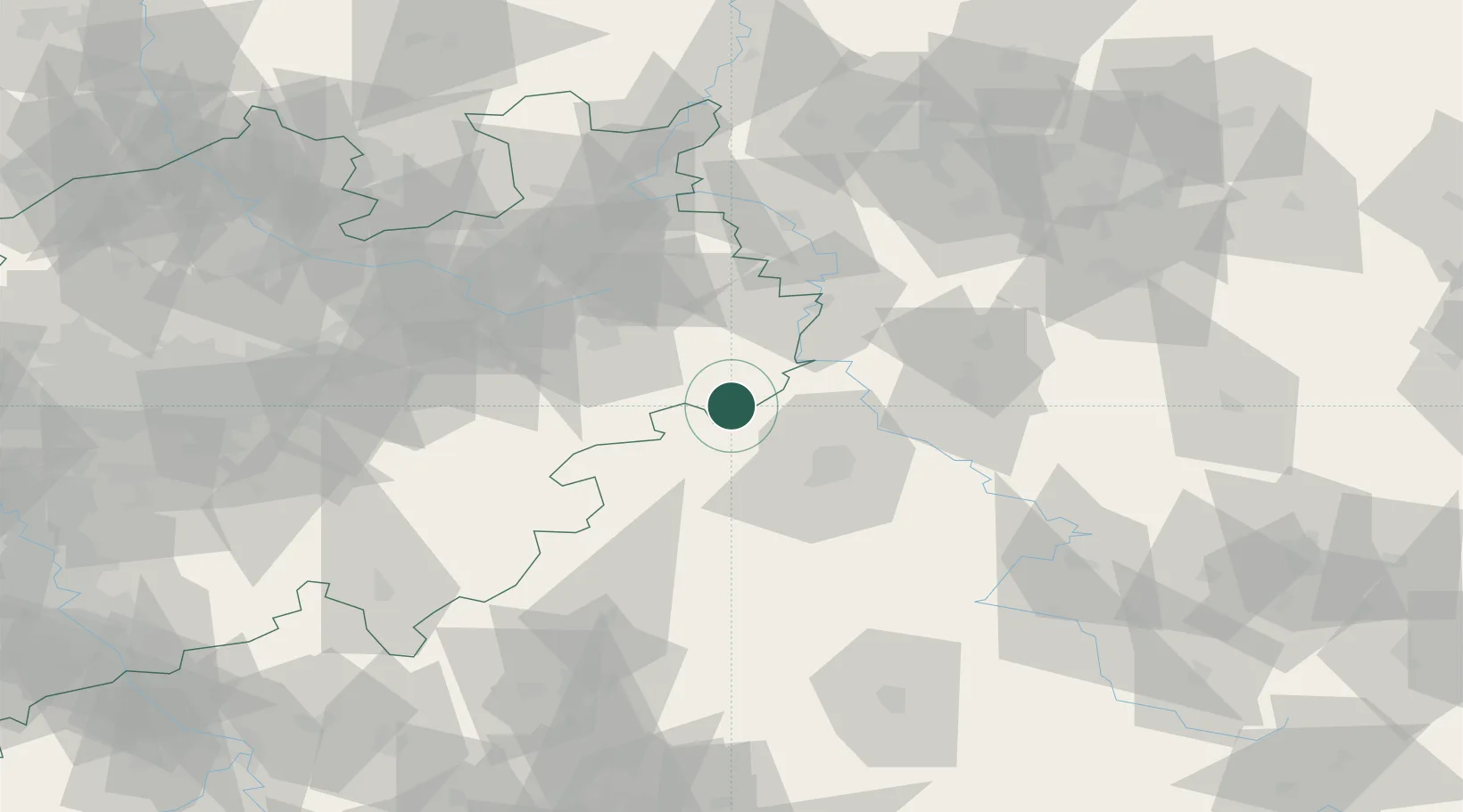
Hub Profile
Place type
Populated place
Region
North Rhine-Westphalia
Population
24,317
Time zone
Europe/Berlin
Elevation
200 m
Location
Nearby Logistics Neighbours
Cities
- 1Borgentreich9 km
- 2Volkmarsen12 km
- 3Bad Arolsen18 km
- 4Wolfhagen20 km
- 5Bad Karlshafen25 km
Airports
- 1Kassel Airport18 km
- 2Paderborn Lippstadt Airport40 km
- 3Fritzlar Army Airfield44 km
- 4Bielefeld Airport67 km
- 5Bückeburg Air Base87 km
Trade Zones
DatabookThe Record of Consolidated Knowledge
Germany beyond logistics?