Transport Functions
Multimodal
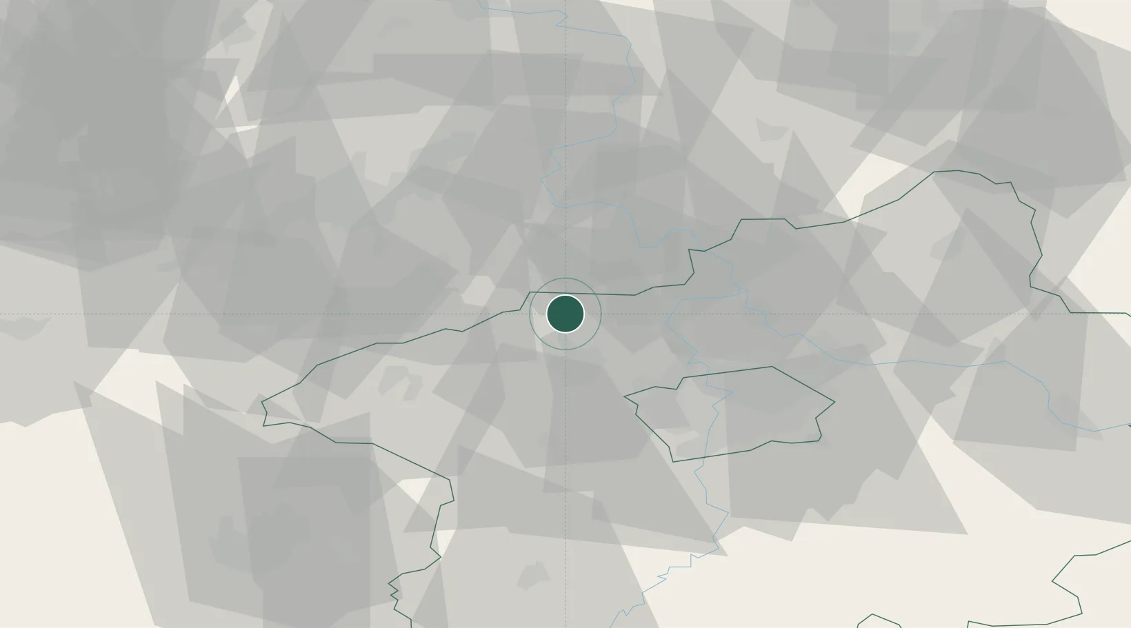
Hub Profile
Place type
Populated place
Region
Central Bohemia
Population
2,232
Time zone
Europe/Prague
Elevation
224 m
Location
Nearby Logistics Neighbours
Ports
- 1Szczecin350 km
- 2Police367 km
- 3Swinoujscie404 km
- 4Wolgast419 km
- 5Wismar440 km
Airports
- 1Vodochody Airport23 km
- 2Václav Havel Airport Prague24 km
- 3Prague–Kbely Air Base37 km
- 4Kostomlaty Airstrip61 km
- 5Karlovy Vary Airport84 km
Trade Zones
DatabookThe Record of Consolidated Knowledge
Czechia beyond logistics?