Transport Functions
Rail
Road
Hub Profile
Place type
Populated place
Region
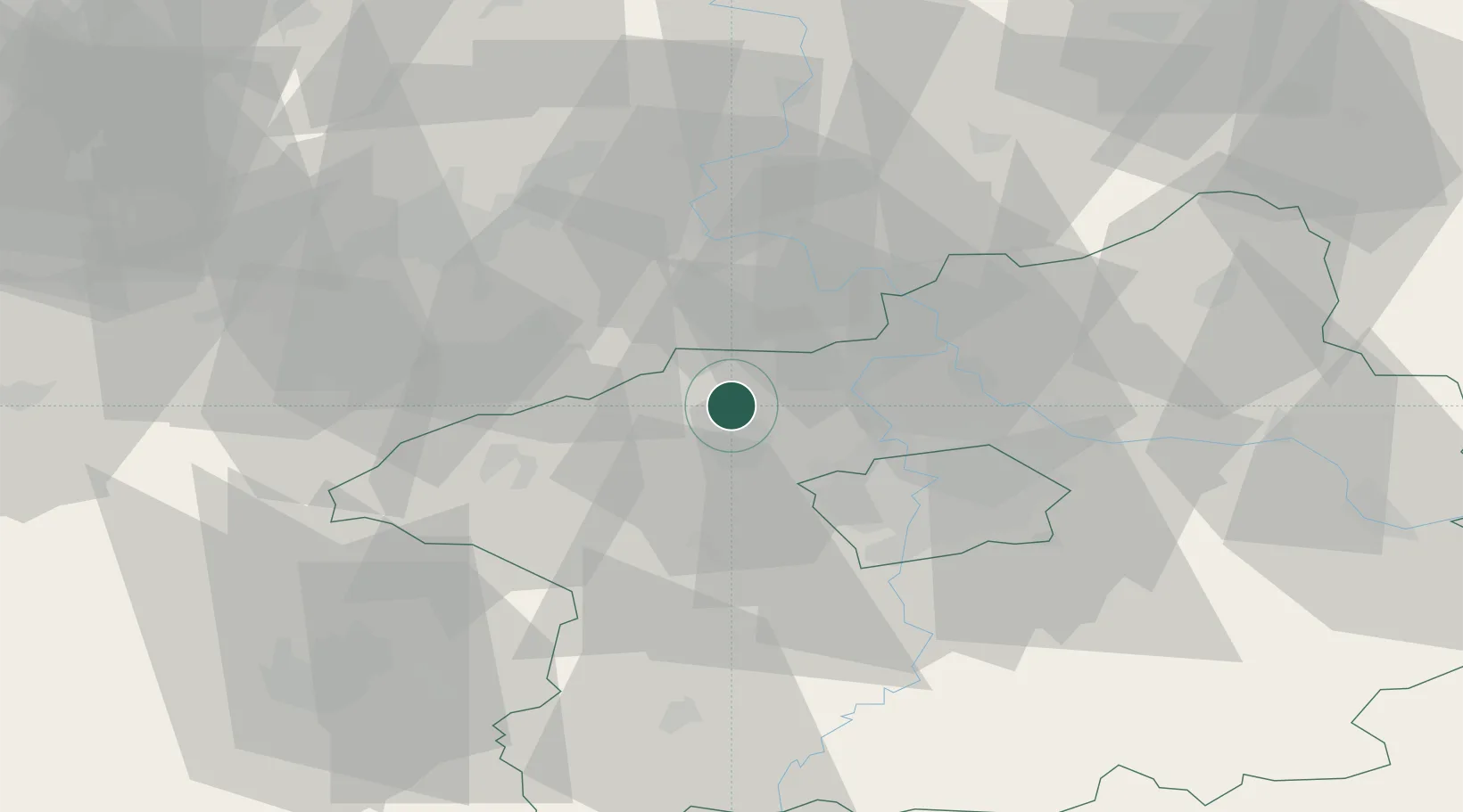
Central Bohemia
Population
15,070
Time zone
Europe/Prague
Elevation
282 m
Location
Nearby Logistics Neighbours
Cities
- 1Zelevcice4 km
- 2Zlonice6 km
- 3Bustehrad10 km
- 4Stehelceves10 km
- 5Zákolany10 km
Ports
- 1Szczecin355 km
- 2Police372 km
- 3Swinoujscie410 km
- 4Wolgast425 km
- 5Wismar446 km
Airports
- 1Václav Havel Airport Prague19 km
- 2Vodochody Airport21 km
- 3Prague–Kbely Air Base34 km
- 4Kostomlaty Airstrip59 km
- 5Karlovy Vary Airport84 km
Trade Zones
DatabookThe Record of Consolidated Knowledge
Czechia beyond logistics?