Transport Functions
Rail
Road
Hub Profile
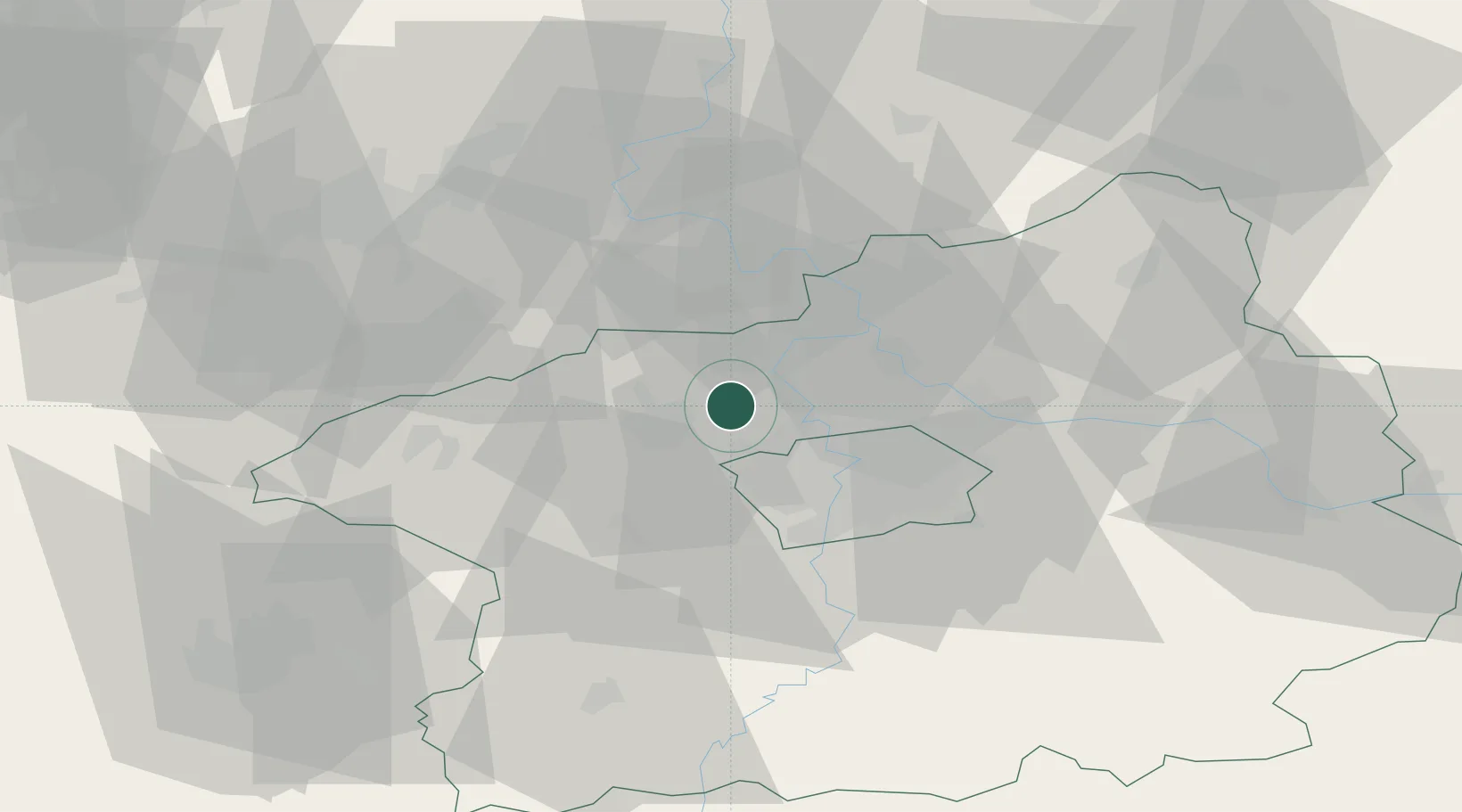
Place type
Populated place
Region
Central Bohemia
Population
515
Time zone
Europe/Prague
Elevation
221 m
Location
Nearby Logistics Neighbours
Cities
- 1Otvovice3 km
- 2Bustehrad5 km
- 3Stehelceves5 km
- 4Svrkyne7 km
- 5Kralupy nad Vltavou7 km
Ports
- 1Szczecin358 km
- 2Police375 km
- 3Swinoujscie413 km
- 4Wolgast429 km
- 5Wismar453 km
Airports
- 1Václav Havel Airport Prague11 km
- 2Vodochody Airport12 km
- 3Prague–Kbely Air Base24 km
- 4Kostomlaty Airstrip49 km
- 5Čáslav Air Base87 km
Trade Zones
DatabookThe Record of Consolidated Knowledge
Czechia beyond logistics?