Transport Functions
Multimodal
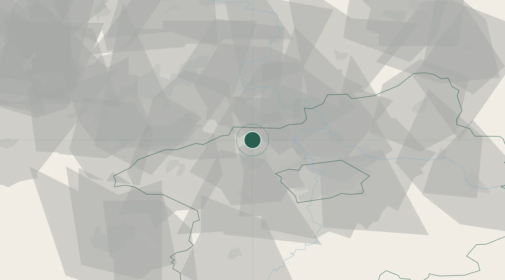
Hub Profile
Place type
Populated place
Region
Central Bohemia
Time zone
Europe/Prague
Elevation
246 m
Location
Nearby Logistics Neighbours
Cities
- 1Zlonice2 km
- 2Slaný4 km
- 3Zákolany12 km
- 4Bustehrad13 km
- 5Stehelceves13 km
Ports
- 1Szczecin352 km
- 2Police368 km
- 3Swinoujscie406 km
- 4Wolgast421 km
- 5Wismar442 km
Airports
- 1Václav Havel Airport Prague22 km
- 2Vodochody Airport22 km
- 3Prague–Kbely Air Base36 km
- 4Kostomlaty Airstrip59 km
- 5Karlovy Vary Airport85 km
Trade Zones
DatabookThe Record of Consolidated Knowledge
Czechia beyond logistics?