Transport Functions
Rail
Road
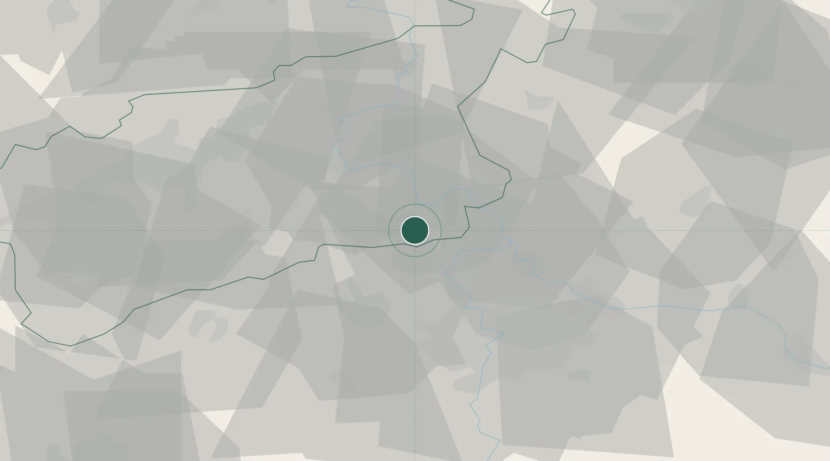
Hub Profile
Place type
Populated place
Region
Ústecký kraj
Time zone
Europe/Prague
Elevation
217 m
Location
Nearby Logistics Neighbours
Cities
- 1Ledcice6 km
- 2Horni Pocaply12 km
- 3Nelahozeves12 km
- 4Stetí14 km
- 5Zlonice14 km
Ports
- 1Szczecin340 km
- 2Police357 km
- 3Swinoujscie395 km
- 4Wolgast411 km
- 5Wismar436 km
Airports
- 1Vodochody Airport20 km
- 2Václav Havel Airport Prague30 km
- 3Prague–Kbely Air Base35 km
- 4Kostomlaty Airstrip52 km
- 5Dresden Airport91 km
Trade Zones
DatabookThe Record of Consolidated Knowledge
Czechia beyond logistics?