Transport Functions
Rail
Road
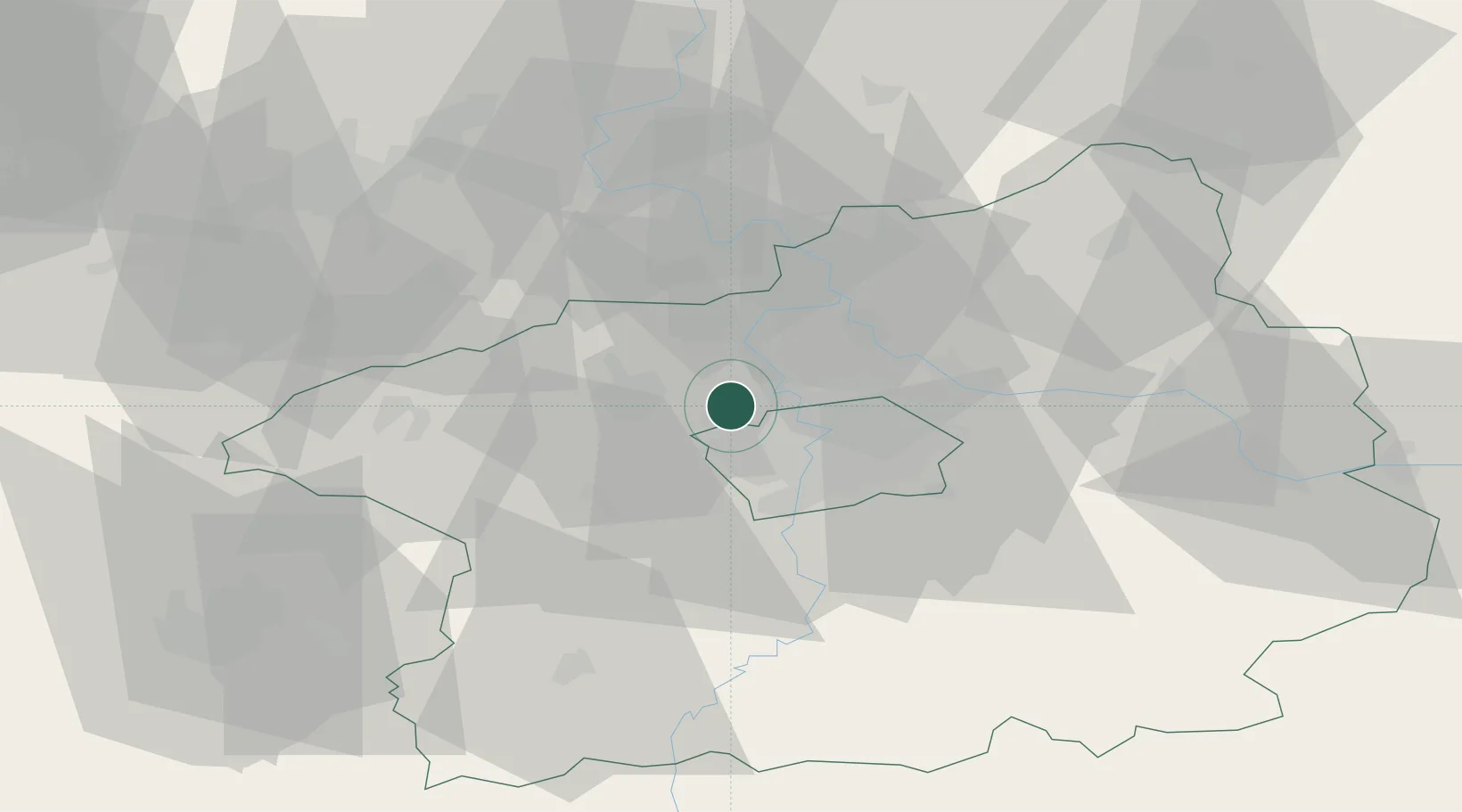
Hub Profile
Place type
Populated place
Region
Central Bohemia
Population
266
Time zone
Europe/Prague
Elevation
301 m
Location
Nearby Logistics Neighbours
Cities
- 1Tuchomerice2 km
- 2Knezeves4 km
- 3Tursko7 km
- 4Zákolany7 km
- 5Bustehrad7 km
Ports
- 1Szczecin364 km
- 2Police380 km
- 3Swinoujscie419 km
- 4Wolgast435 km
- 5Wismar459 km
Airports
- 1Václav Havel Airport Prague6 km
- 2Vodochody Airport11 km
- 3Prague–Kbely Air Base19 km
- 4Kostomlaty Airstrip46 km
- 5Čáslav Air Base82 km
Trade Zones
DatabookThe Record of Consolidated Knowledge
Czechia beyond logistics?