Transport Functions
Multimodal
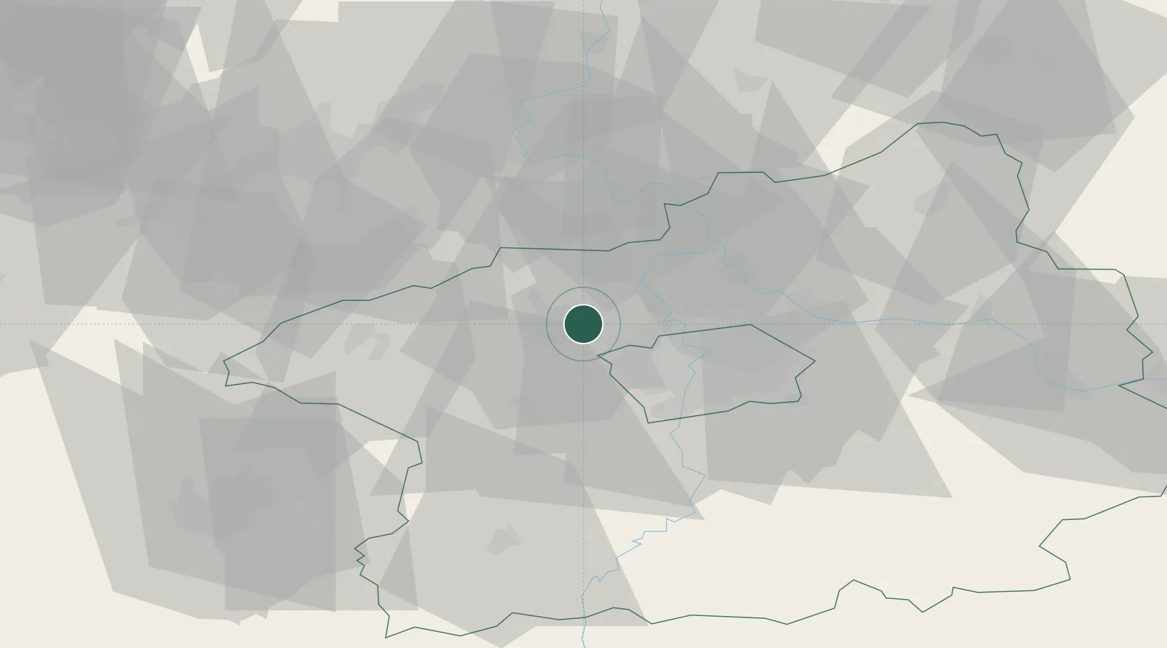
Hub Profile
Place type
Populated place
Region
Central Bohemia
Population
527
Time zone
Europe/Prague
Elevation
274 m
Location
Nearby Logistics Neighbours
Cities
- 1Bustehrad0 km
- 2Zákolany5 km
- 3Svrkyne7 km
- 4Tuchomerice8 km
- 5Otvovice8 km
Ports
- 1Szczecin362 km
- 2Police379 km
- 3Swinoujscie417 km
- 4Wolgast433 km
- 5Wismar455 km
Airports
- 1Václav Havel Airport Prague9 km
- 2Vodochody Airport16 km
- 3Prague–Kbely Air Base26 km
- 4Kostomlaty Airstrip53 km
- 5Plzeň-Líně Airport85 km
Trade Zones
DatabookThe Record of Consolidated Knowledge
Czechia beyond logistics?