Transport Functions
Road
Multimodal
Hub Profile
Place type
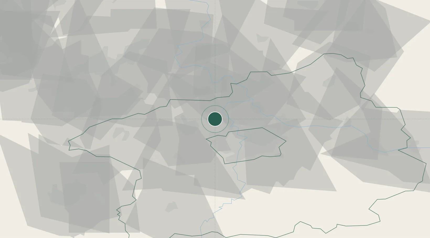
Populated place
Region
Central Bohemia
Population
701
Time zone
Europe/Prague
Elevation
206 m
Location
Nearby Logistics Neighbours
Cities
- 1Zákolany3 km
- 2Kralupy nad Vltavou4 km
- 3Tursko5 km
- 4Nelahozeves6 km
- 5Svrkyne8 km
Ports
- 1Szczecin356 km
- 2Police373 km
- 3Swinoujscie411 km
- 4Wolgast428 km
- 5Wismar452 km
Airports
- 1Vodochody Airport9 km
- 2Václav Havel Airport Prague13 km
- 3Prague–Kbely Air Base22 km
- 4Kostomlaty Airstrip47 km
- 5Čáslav Air Base85 km
Trade Zones
DatabookThe Record of Consolidated Knowledge
Czechia beyond logistics?