Medium airport · Czechia
Čáslav Air BaseLKCV
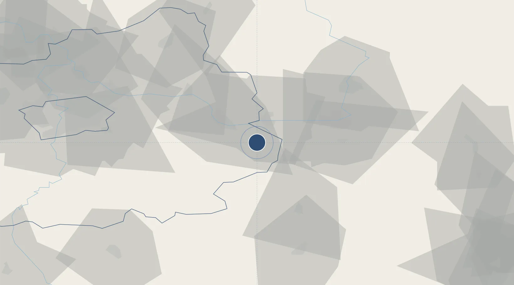
49.9397°, 15.3818°
7,875 ft
Longest runway
2
Runways
794 ft
Elevation
Runway & Layout

Radio Frequencies
TWR
134.205 MHz
APP
130.28 MHz
MTWR
129.405 MHz
Navaids
CF NDB Caslav 346 kHz
Runways · 2
| Runway | Dimensions | Surface | True heading | Lit |
|---|---|---|---|---|
| 13/31 | 7,875 × 197ft | Concrete | 137° | ✓ |
| 12/30 | 4,295 × 131ft | GRASS | — | — |
Airport Specifications
ICAO code
LKCV
Airport class
Medium airport
Scheduled service
No
Runway surface
Concrete
Served city
Chotusice
Location
Nearby Logistics Neighbours
Airports
- 1Pardubice Airport27 km
- 2Kostomlaty Airstrip44 km
- 3Prague–Kbely Air Base63 km
- 4Vodochody Airport77 km
- 5Václav Havel Airport Prague82 km
Cities
- 1Horusice8 km
- 2Kutná Hora8 km
- 3Zleby9 km
- 4Týnec nad Labem11 km
- 5Korotice12 km
Ports
- 1Szczecin391 km
- 2Police407 km
- 3Swinoujscie449 km
- 4Monfalcone482 km
- 5Trieste492 km
Trade Zones
DatabookThe Record of Consolidated Knowledge
Czechia beyond logistics?