UN/LOCODE hub · Czechia
CZKNV
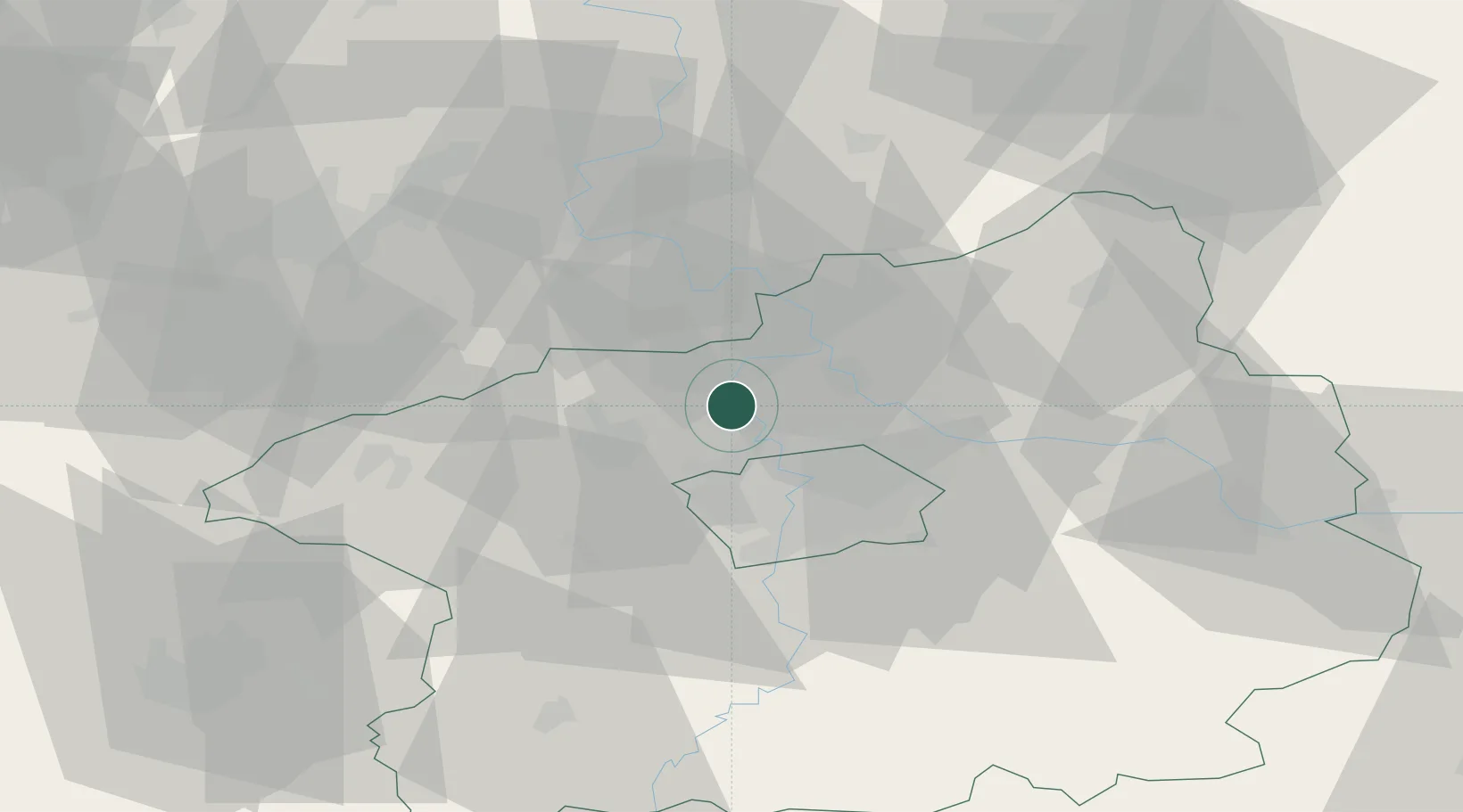
Kralupy nad Vltavou
50.2333°, 14.3167°
17,373
Population
3
Transport functions
Transport Functions
Port
Rail
Road
Hub Profile
Place type
Populated place
Region
Central Bohemia
Population
17,373
Time zone
Europe/Prague
Elevation
179 m
Location
Nearby Logistics Neighbours
Cities
- 1Nelahozeves4 km
- 2Tursko4 km
- 3Otvovice4 km
- 4Zákolany7 km
- 5Klecany9 km
Ports
- 1Szczecin354 km
- 2Police371 km
- 3Swinoujscie410 km
- 4Wolgast426 km
- 5Kolobrzeg451 km
Airports
- 1Vodochody Airport6 km
- 2Václav Havel Airport Prague15 km
- 3Prague–Kbely Air Base20 km
- 4Kostomlaty Airstrip43 km
- 5Čáslav Air Base83 km
Trade Zones
DatabookThe Record of Consolidated Knowledge
Czechia beyond logistics?