Transport Functions
Multimodal
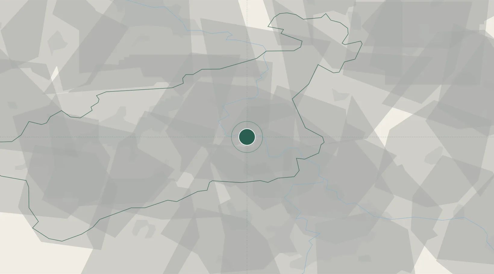
Hub Profile
Place type
Populated place
Region
Ústecký kraj
Population
2,992
Time zone
Europe/Prague
Elevation
152 m
Location
Nearby Logistics Neighbours
Cities
- 1Bohusovice nad Ohri2 km
- 2Ceské Kopisty2 km
- 3Jencice10 km
- 4Ustí nad Labem17 km
- 5Straskov18 km
Ports
- 1Szczecin324 km
- 2Police340 km
- 3Swinoujscie378 km
- 4Wolgast394 km
- 5Wismar418 km
Airports
- 1Vodochody Airport38 km
- 2Václav Havel Airport Prague47 km
- 3Prague–Kbely Air Base52 km
- 4Kostomlaty Airstrip65 km
- 5Dresden Airport74 km
Trade Zones
DatabookThe Record of Consolidated Knowledge
Czechia beyond logistics?