Transport Functions
Rail
Road
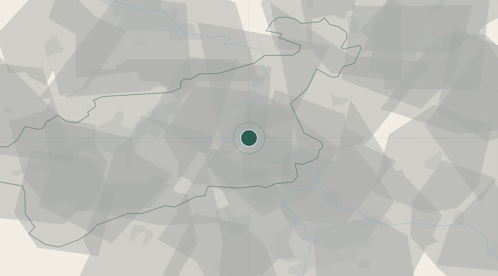
Hub Profile
Place type
Populated place
Region
Ústecký kraj
Time zone
Europe/Prague
Elevation
150 m
Location
Nearby Logistics Neighbours
Cities
- 1Terezin2 km
- 2Bohusovice nad Ohri4 km
- 3Jencice12 km
- 4Ustí nad Labem16 km
- 5Trmice18 km
Ports
- 1Szczecin322 km
- 2Police338 km
- 3Swinoujscie376 km
- 4Wolgast392 km
- 5Wismar417 km
Airports
- 1Vodochody Airport39 km
- 2Václav Havel Airport Prague49 km
- 3Prague–Kbely Air Base53 km
- 4Kostomlaty Airstrip65 km
- 5Dresden Airport72 km
Trade Zones
DatabookThe Record of Consolidated Knowledge
Czechia beyond logistics?