UN/LOCODE hub · Czechia
CZBSO
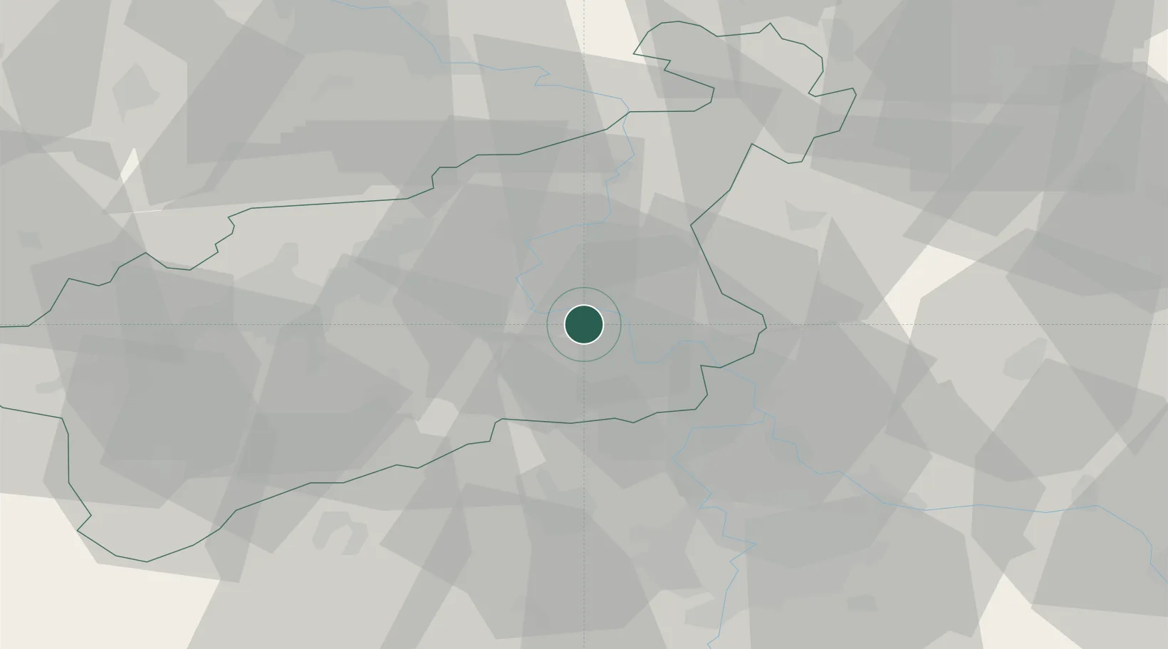
Bohusovice nad Ohri
50.5000°, 14.1500°
2,544
Population
2
Transport functions
Transport Functions
Road
Multimodal
Hub Profile
Place type
Populated place
Region
Ústecký kraj
Population
2,544
Time zone
Europe/Prague
Elevation
153 m
Location
Nearby Logistics Neighbours
Cities
- 1Terezin2 km
- 2Ceské Kopisty4 km
- 3Jencice10 km
- 4Straskov16 km
- 5Stetí17 km
Ports
- 1Szczecin326 km
- 2Police342 km
- 3Swinoujscie380 km
- 4Wolgast396 km
- 5Wismar420 km
Airports
- 1Vodochody Airport36 km
- 2Václav Havel Airport Prague45 km
- 3Prague–Kbely Air Base51 km
- 4Kostomlaty Airstrip64 km
- 5Dresden Airport75 km
Trade Zones
DatabookThe Record of Consolidated Knowledge
Czechia beyond logistics?