UN/LOCODE hub · Czechia
CZULN
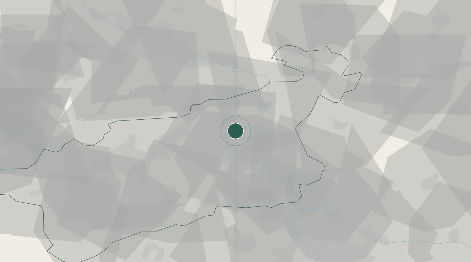
Ustí nad Labem
50.6626°, 14.0788°
90,378
Population
4
Transport functions
Transport Functions
Port
Rail
Road
Postal
Hub Profile
Place type
Regional capital
Region
Ústecký kraj
Population
90,378
Time zone
Europe/Prague
Elevation
150 m
Logistics facilities
1
Location
Nearby Logistics Neighbours
Ports
- 1Szczecin308 km
- 2Police325 km
- 3Swinoujscie362 km
- 4Wolgast377 km
- 5Wismar401 km
Airports
- 1Vodochody Airport54 km
- 2Dresden Airport57 km
- 3Václav Havel Airport Prague64 km
- 4Prague–Kbely Air Base69 km
- 5Kostomlaty Airstrip78 km
Trade Zones
DatabookThe Record of Consolidated Knowledge
Czechia beyond logistics?