Transport Functions
Multimodal
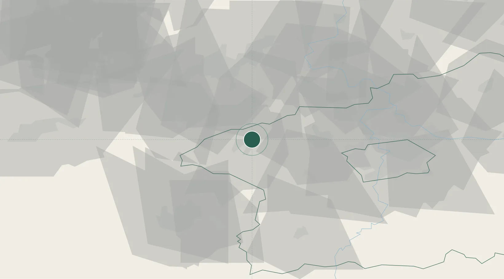
Hub Profile
Place type
Populated place
Region
Central Bohemia
Population
620
Time zone
Europe/Prague
Elevation
379 m
Location
Nearby Logistics Neighbours
Cities
- 1Rakovník8 km
- 2Lubna10 km
- 3Dobromerice22 km
- 4Postoloprty23 km
- 5Jesenice23 km
Ports
- 1Szczecin365 km
- 2Police382 km
- 3Swinoujscie418 km
- 4Wolgast432 km
- 5Wismar444 km
Airports
- 1Václav Havel Airport Prague36 km
- 2Vodochody Airport45 km
- 3Prague–Kbely Air Base56 km
- 4Karlovy Vary Airport61 km
- 5Plzeň-Líně Airport65 km
Trade Zones
DatabookThe Record of Consolidated Knowledge
Czechia beyond logistics?