Transport Functions
Rail
Road
Hub Profile
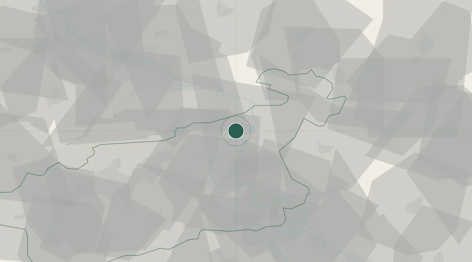
Place type
Populated place
Region
Ústecký kraj
Time zone
Europe/Prague
Elevation
211 m
Location
Nearby Logistics Neighbours
Cities
- 1Decín5 km
- 2Dobkovice8 km
- 3Benesov nad Ploucnici12 km
- 4Ustí nad Labem13 km
- 5Telnice13 km
Ports
- 1Szczecin296 km
- 2Police313 km
- 3Swinoujscie350 km
- 4Wolgast366 km
- 5Wismar393 km
Airports
- 1Dresden Airport49 km
- 2Vodochody Airport64 km
- 3Václav Havel Airport Prague74 km
- 4Prague–Kbely Air Base77 km
- 5Kostomlaty Airstrip83 km
Trade Zones
DatabookThe Record of Consolidated Knowledge
Czechia beyond logistics?