Transport Functions
Rail
Road
Hub Profile
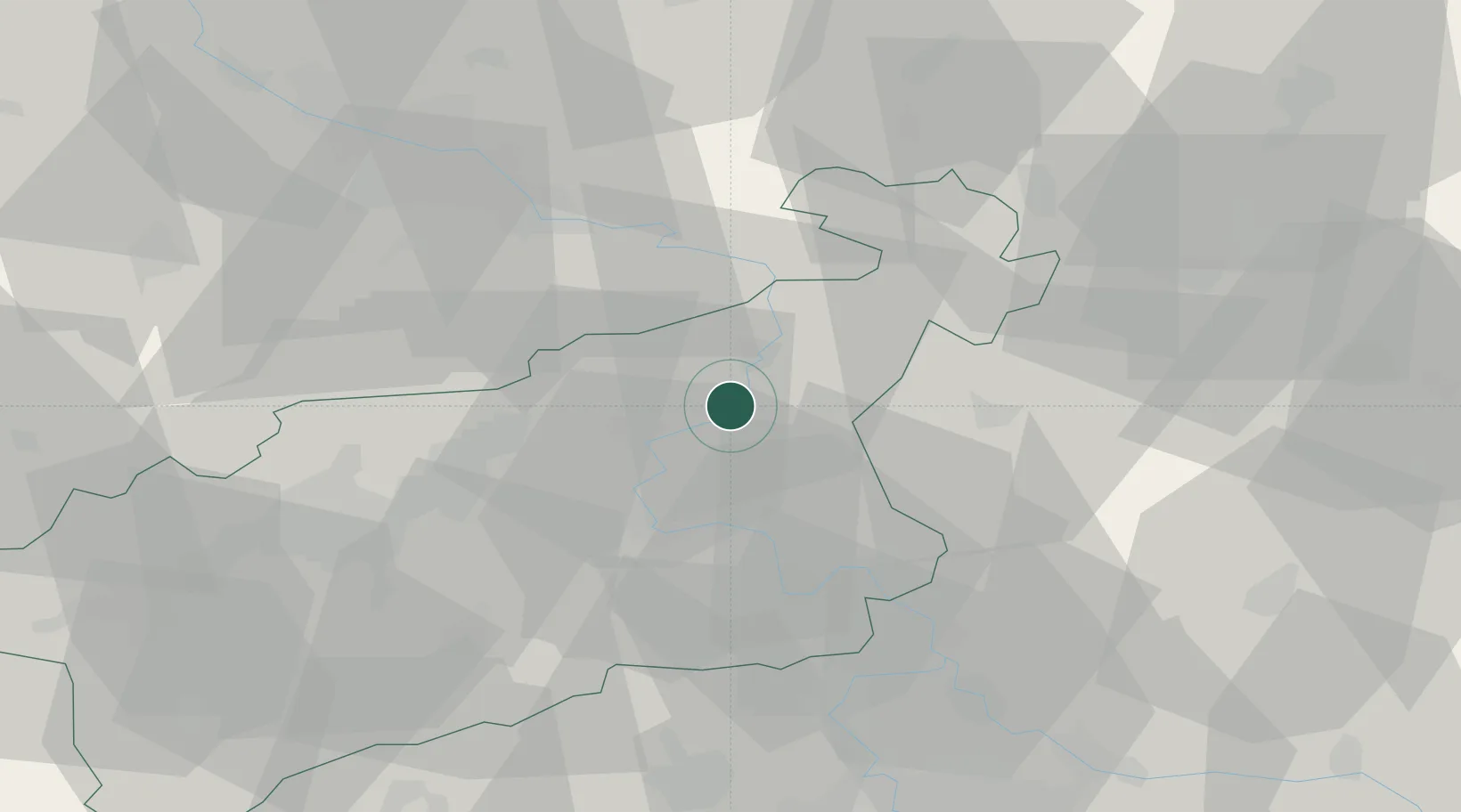
Place type
Populated place
Region
Ústecký kraj
Population
648
Time zone
Europe/Prague
Elevation
136 m
Location
Nearby Logistics Neighbours
Cities
- 1Ustí nad Labem8 km
- 2Bynov8 km
- 3Decín10 km
- 4Benesov nad Ploucnici11 km
- 5Frantiskov nad Ploucnici12 km
Ports
- 1Szczecin303 km
- 2Police320 km
- 3Swinoujscie358 km
- 4Wolgast373 km
- 5Wismar400 km
Airports
- 1Dresden Airport56 km
- 2Vodochody Airport56 km
- 3Václav Havel Airport Prague67 km
- 4Prague–Kbely Air Base70 km
- 5Kostomlaty Airstrip77 km
Trade Zones
DatabookThe Record of Consolidated Knowledge
Czechia beyond logistics?