Transport Functions
Multimodal
Hub Profile
Place type
Populated place
Region
Ústecký kraj
Time zone
Europe/Prague
Elevation
205 m
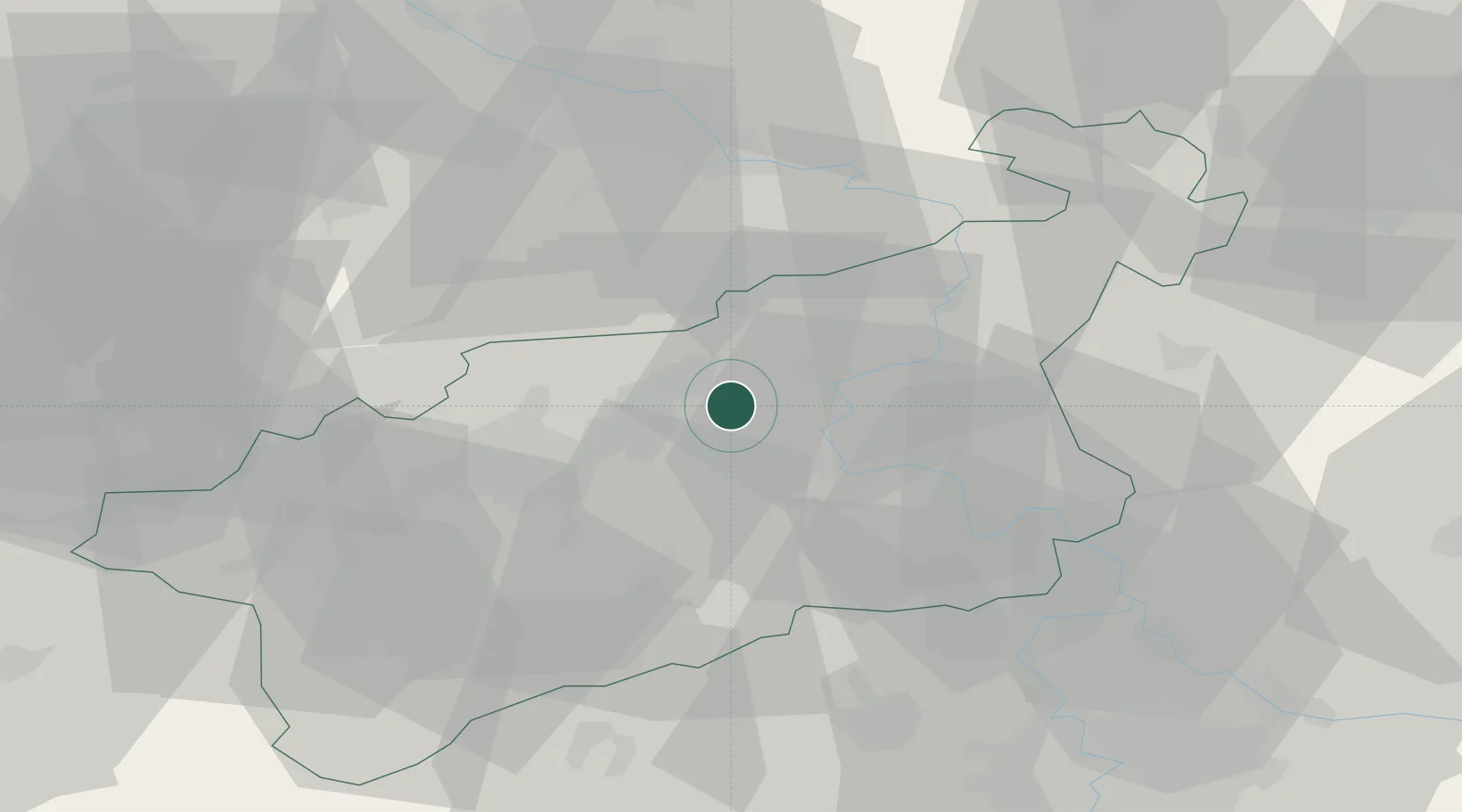
Location
Nearby Logistics Neighbours
Cities
- 1Rtyne nad Bílinou4 km
- 2Trmice8 km
- 3Bílina12 km
- 4Ustí nad Labem14 km
- 5Telnice14 km
Ports
- 1Szczecin315 km
- 2Police331 km
- 3Swinoujscie368 km
- 4Wolgast382 km
- 5Wismar401 km
Airports
- 1Vodochody Airport57 km
- 2Dresden Airport58 km
- 3Václav Havel Airport Prague63 km
- 4Prague–Kbely Air Base72 km
- 5Karlovy Vary Airport84 km
Trade Zones
DatabookThe Record of Consolidated Knowledge
Czechia beyond logistics?