Transport Functions
Rail
Road
Hub Profile
Place type
Populated place
Region
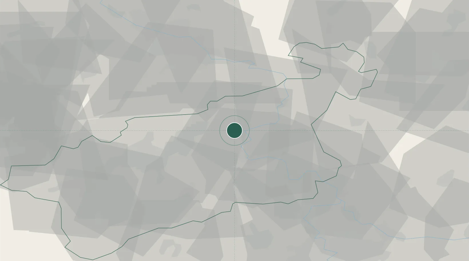
Ústecký kraj
Population
2,862
Time zone
Europe/Prague
Elevation
150 m
Location
Nearby Logistics Neighbours
Cities
- 1Ustí nad Labem6 km
- 2Sezemice8 km
- 3Telnice10 km
- 4Rtyne nad Bílinou12 km
- 5Dobkovice13 km
Ports
- 1Szczecin310 km
- 2Police327 km
- 3Swinoujscie364 km
- 4Wolgast378 km
- 5Wismar400 km
Airports
- 1Vodochody Airport56 km
- 2Dresden Airport56 km
- 3Václav Havel Airport Prague64 km
- 4Prague–Kbely Air Base70 km
- 5Kostomlaty Airstrip82 km
Trade Zones
DatabookThe Record of Consolidated Knowledge
Czechia beyond logistics?