Transport Functions
Port
Multimodal
Hub Profile
Place type
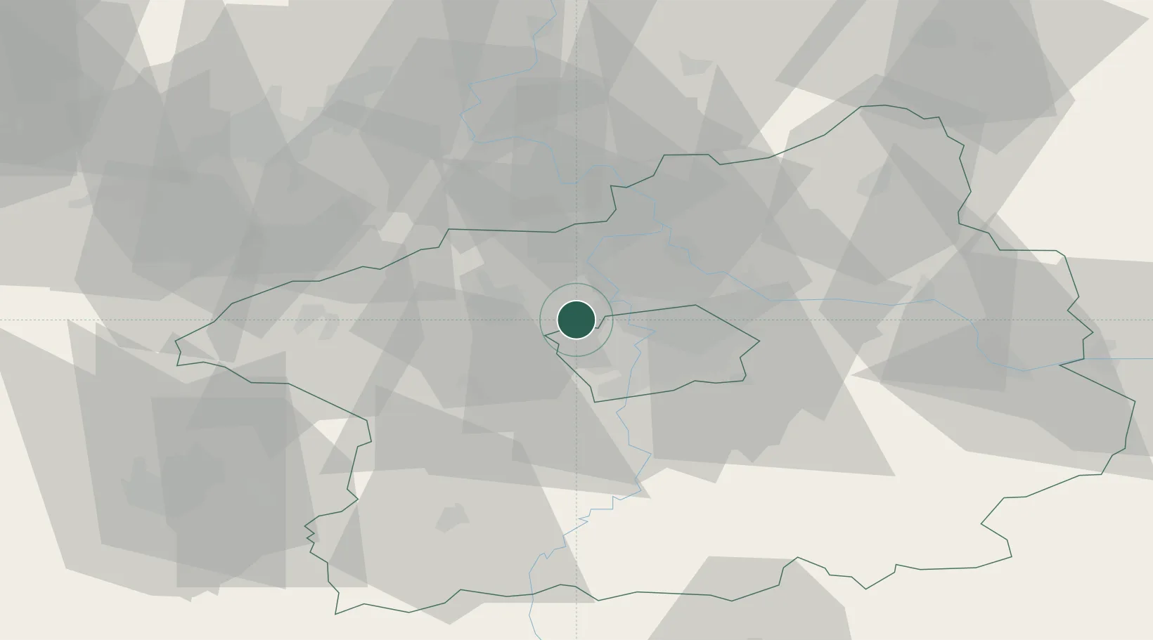
Populated place
Region
Central Bohemia
Population
1,032
Time zone
Europe/Prague
Elevation
311 m
Location
Nearby Logistics Neighbours
Ports
- 1Szczecin366 km
- 2Police382 km
- 3Swinoujscie421 km
- 4Wolgast437 km
- 5Wismar461 km
Airports
- 1Václav Havel Airport Prague4 km
- 2Vodochody Airport12 km
- 3Prague–Kbely Air Base19 km
- 4Kostomlaty Airstrip47 km
- 5Čáslav Air Base81 km
Trade Zones
DatabookThe Record of Consolidated Knowledge
Czechia beyond logistics?