Transport Functions
Multimodal
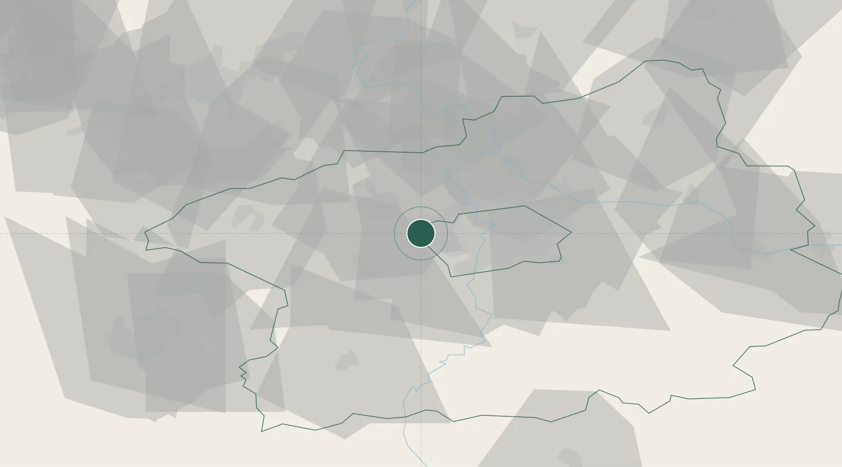
Hub Profile
Place type
Populated place
Region
Central Bohemia
Population
675
Time zone
Europe/Prague
Elevation
372 m
Location
Nearby Logistics Neighbours
Ports
- 1Szczecin371 km
- 2Police388 km
- 3Swinoujscie426 km
- 4Wolgast442 km
- 5Wismar465 km
Airports
- 1Václav Havel Airport Prague3 km
- 2Vodochody Airport19 km
- 3Prague–Kbely Air Base23 km
- 4Kostomlaty Airstrip51 km
- 5Plzeň-Líně Airport82 km
Trade Zones
DatabookThe Record of Consolidated Knowledge
Czechia beyond logistics?