Transport Functions
Rail
Road
Hub Profile
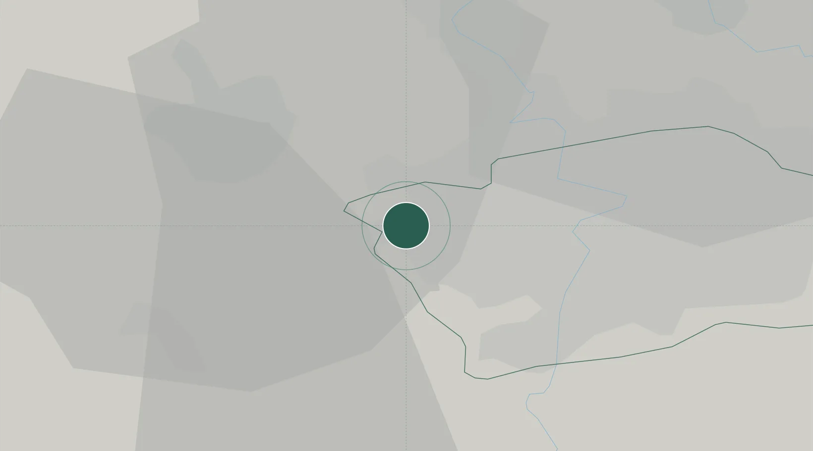
Place type
Populated place
Region
Central Bohemia
Population
8,777
Time zone
Europe/Prague
Elevation
344 m
Location
Nearby Logistics Neighbours
Ports
- 1Szczecin371 km
- 2Police388 km
- 3Swinoujscie426 km
- 4Wolgast442 km
- 5Wismar466 km
Airports
- 1Václav Havel Airport Prague2 km
- 2Vodochody Airport17 km
- 3Prague–Kbely Air Base20 km
- 4Kostomlaty Airstrip49 km
- 5Čáslav Air Base81 km
Trade Zones
DatabookThe Record of Consolidated Knowledge
Czechia beyond logistics?