Transport Functions
Road
Multimodal
Hub Profile
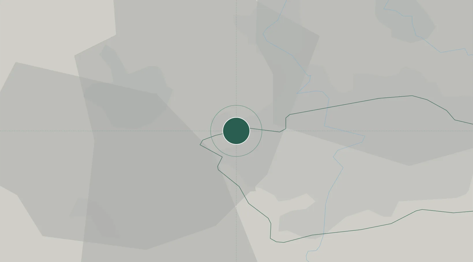
Place type
Populated place
Region
Central Bohemia
Population
512
Time zone
Europe/Prague
Elevation
338 m
Location
Nearby Logistics Neighbours
Cities
- 1Tuchomerice2 km
- 2Hostivice4 km
- 3Svrkyne4 km
- 4Chyne4 km
- 5Jenec5 km
Ports
- 1Szczecin368 km
- 2Police384 km
- 3Swinoujscie423 km
- 4Wolgast439 km
- 5Wismar462 km
Airports
- 1Václav Havel Airport Prague2 km
- 2Vodochody Airport14 km
- 3Prague–Kbely Air Base20 km
- 4Kostomlaty Airstrip48 km
- 5Čáslav Air Base82 km
Trade Zones
DatabookThe Record of Consolidated Knowledge
Czechia beyond logistics?