Transport Functions
Road
Multimodal
Hub Profile
Place type
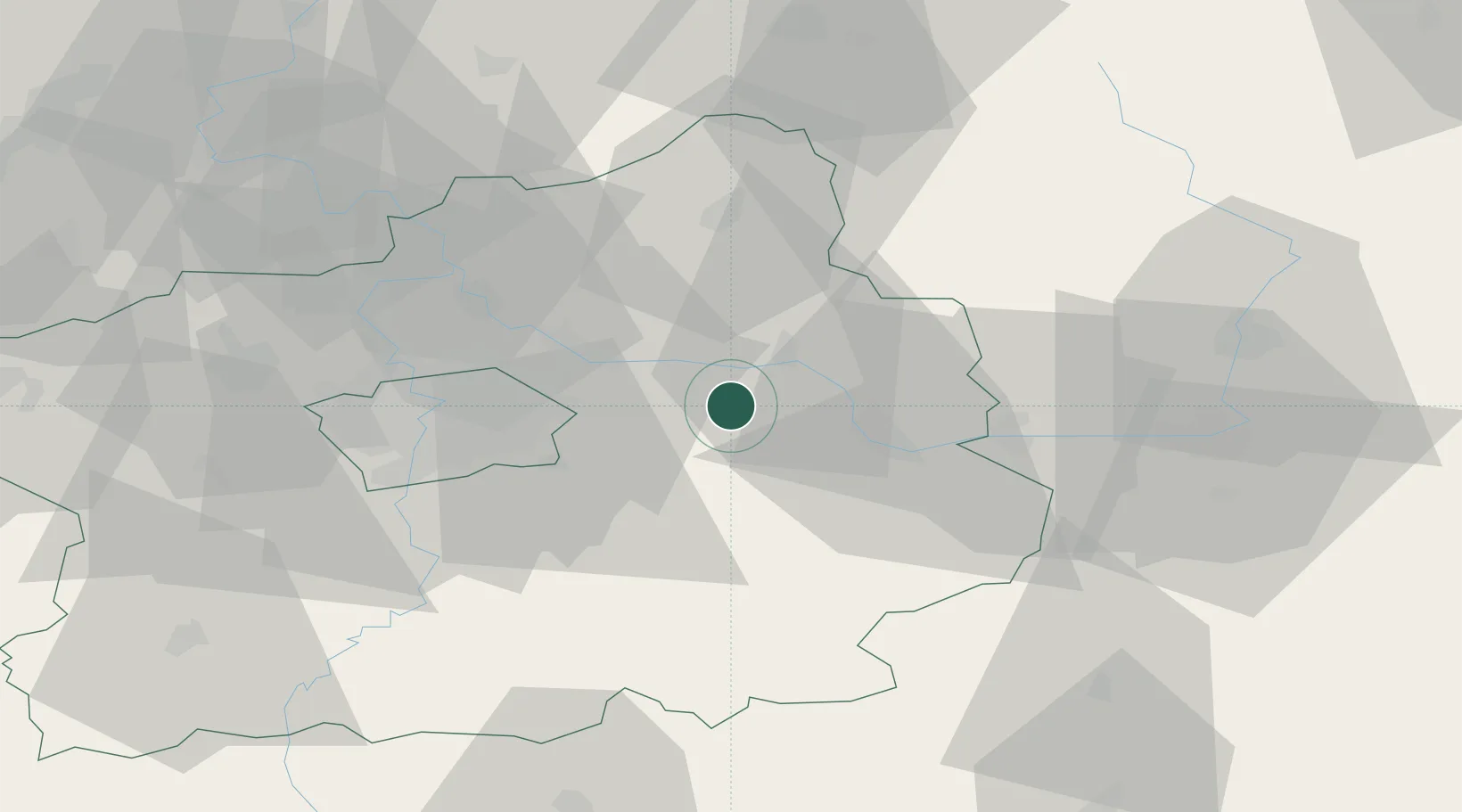
Populated place
Region
Central Bohemia
Population
799
Time zone
Europe/Prague
Elevation
198 m
Location
Nearby Logistics Neighbours
Cities
- 1Sadská4 km
- 2Zverínek7 km
- 3Brezany11 km
- 4Mochov12 km
- 5Kostelec nad Cernými Lesy13 km
Ports
- 1Szczecin370 km
- 2Police386 km
- 3Swinoujscie427 km
- 4Wolgast446 km
- 5Kolobrzeg460 km
Airports
- 1Kostomlaty Airstrip12 km
- 2Prague–Kbely Air Base29 km
- 3Čáslav Air Base36 km
- 4Vodochody Airport42 km
- 5Václav Havel Airport Prague49 km
Trade Zones
DatabookThe Record of Consolidated Knowledge
Czechia beyond logistics?