Transport Functions
Multimodal
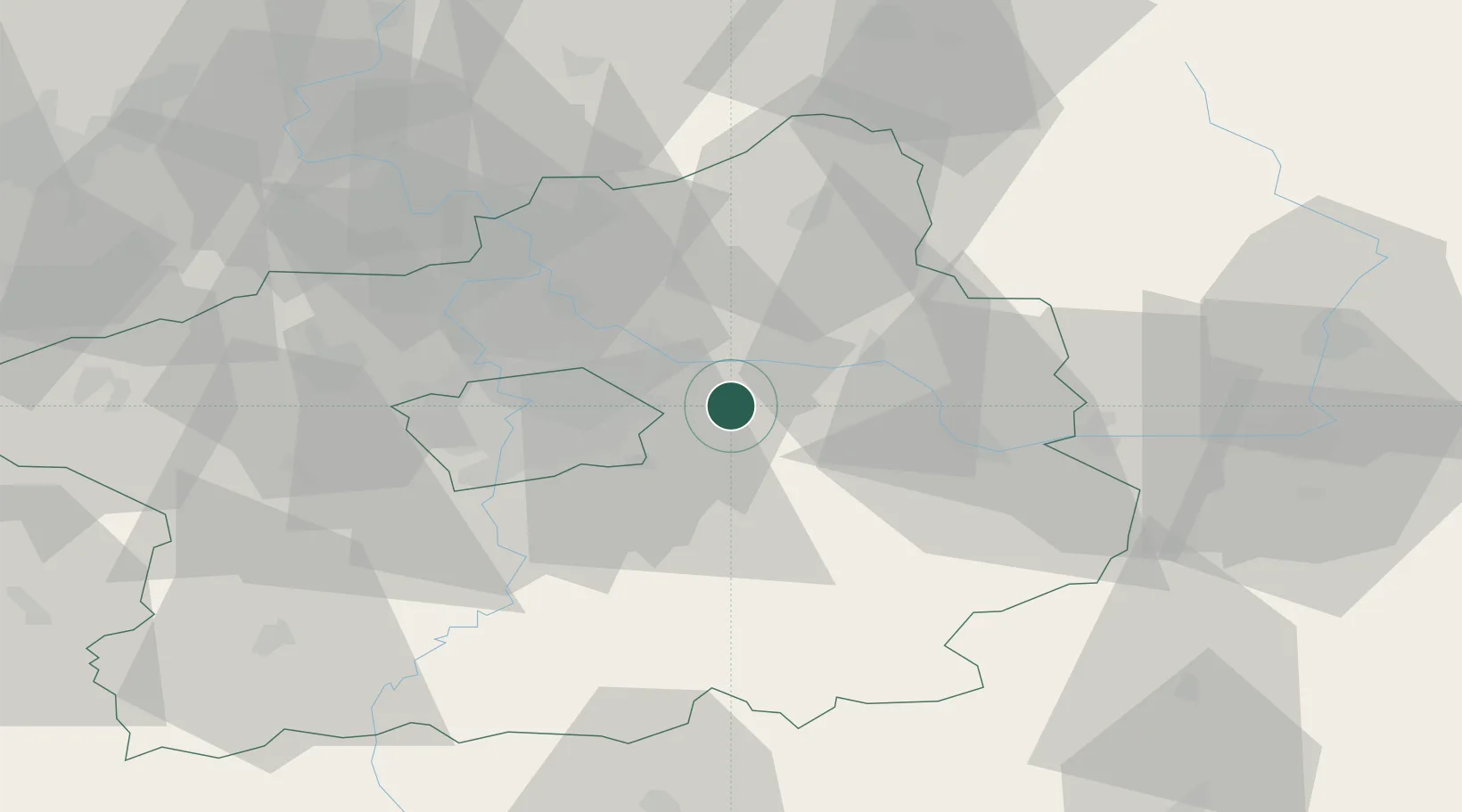
Hub Profile
Place type
Populated place
Region
Central Bohemia
Time zone
Europe/Prague
Elevation
243 m
Location
Nearby Logistics Neighbours
Cities
- 1Mochov6 km
- 2Nehvizdy6 km
- 3Celákovice8 km
- 4Hradesin8 km
- 5Karany9 km
Ports
- 1Szczecin369 km
- 2Police386 km
- 3Swinoujscie426 km
- 4Wolgast445 km
- 5Kolobrzeg461 km
Airports
- 1Kostomlaty Airstrip15 km
- 2Prague–Kbely Air Base18 km
- 3Vodochody Airport32 km
- 4Václav Havel Airport Prague39 km
- 5Čáslav Air Base45 km
Trade Zones
DatabookThe Record of Consolidated Knowledge
Czechia beyond logistics?