Transport Functions
Rail
Road
Hub Profile
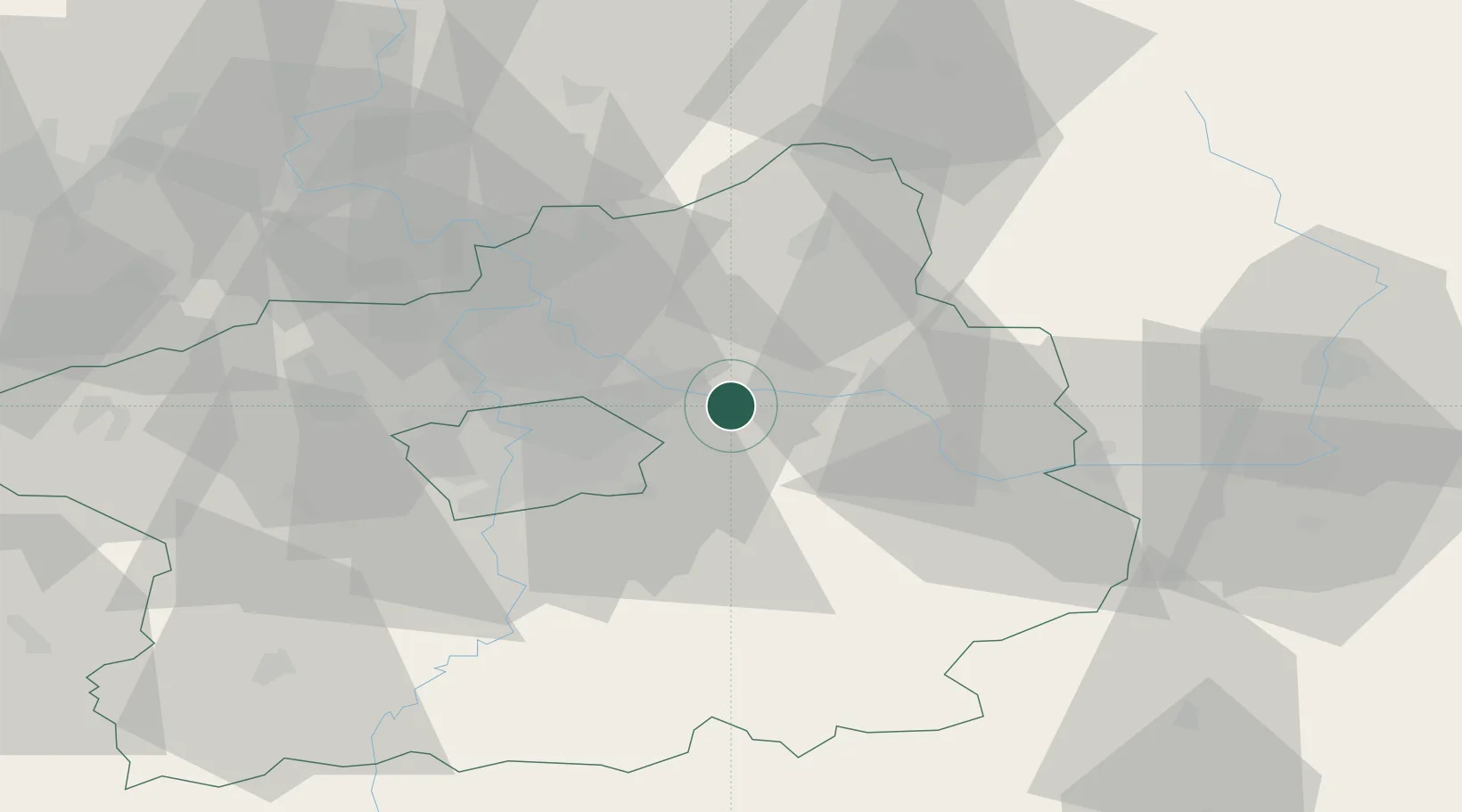
Place type
Populated place
Region
Central Bohemia
Population
882
Time zone
Europe/Prague
Elevation
195 m
Location
Nearby Logistics Neighbours
Cities
- 1Celákovice3 km
- 2Karany5 km
- 3Nehvizdy5 km
- 4Brezany6 km
- 5Lysá nad Labem6 km
Ports
- 1Szczecin364 km
- 2Police380 km
- 3Swinoujscie420 km
- 4Wolgast439 km
- 5Kolobrzeg455 km
Airports
- 1Kostomlaty Airstrip11 km
- 2Prague–Kbely Air Base19 km
- 3Vodochody Airport30 km
- 4Václav Havel Airport Prague39 km
- 5Čáslav Air Base48 km
Trade Zones
DatabookThe Record of Consolidated Knowledge
Czechia beyond logistics?